The lake is located just off the Military Road which runs from the outskirts of the city all the way to Glendalough and beyond. Lough Bray is not far past Glencree and just before the entrance to the Kippure mast.
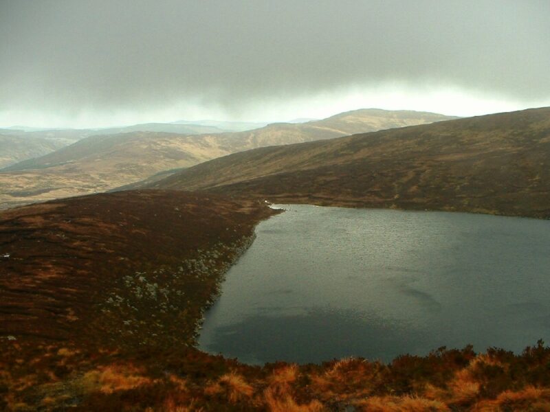
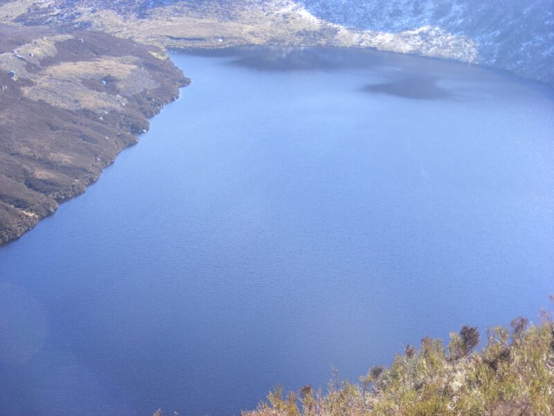
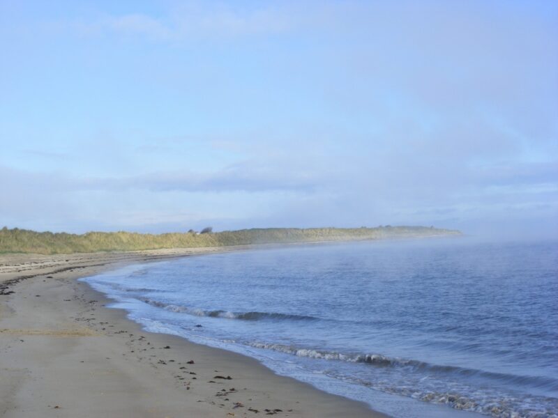
Lough Bray is a lovely lake, only about 30 minutes drive from Dublin yet set in a lovely, unspoilt location.
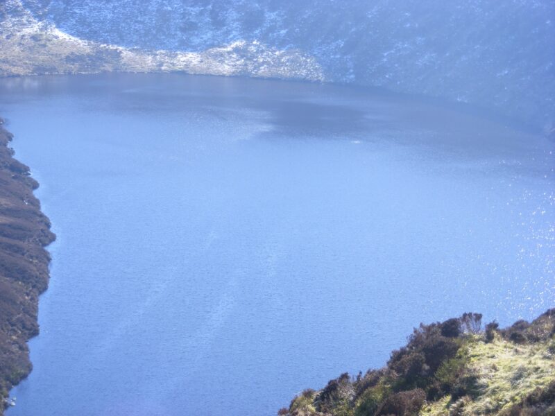
The upper lake has a sister lake nearby but this one is a bit more attractive. A short walk down the track from the roadway will lead you to the lakeside and there is a nice walk at a height along its length.
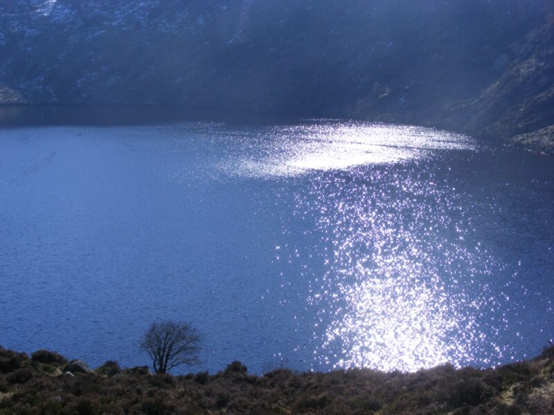
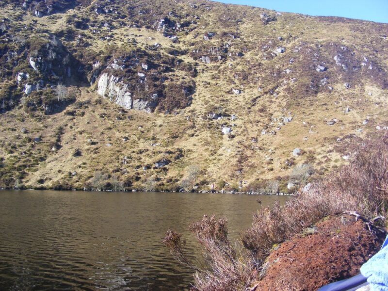
The water here is dark and deep and often cold. But it’s a great place to swim with the surrounding cliffs giving you a feeling of being in the wilderness. Like all mountain lakes you need to be careful here and watch out for hidden rocks. Access into the lake can be from various spots along its near side and the far end has some grassy spots which give you room to stretch out and sunbathe.
A drawback is the flies in the height of summer.
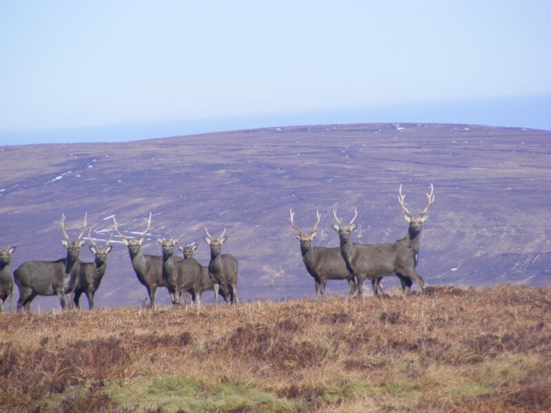
For adventurous and experienced walkers there is a short but steep climb at the far end of the lake which will give you great views . There is also a well worn track which you can follow and you can watch out for the herds of deer which are often seen in this area.
From Dublin city you take the R115 Military Road. About two kilometres after the turn for Glencree you make your way up a twisty hill and there is a small, rough lay-by on your left hand side which has space for a few cars. Opposite this you will see the lake. If there is no parking space here, a further kilometre up the road you will usually find parking at the entrance to the Kippure mast.
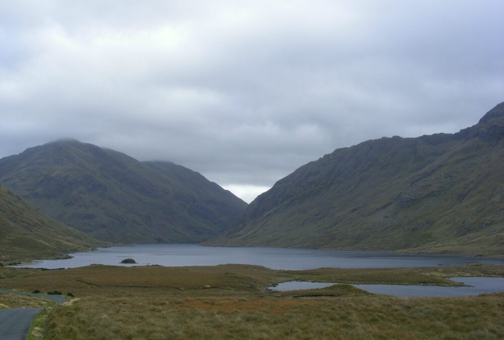
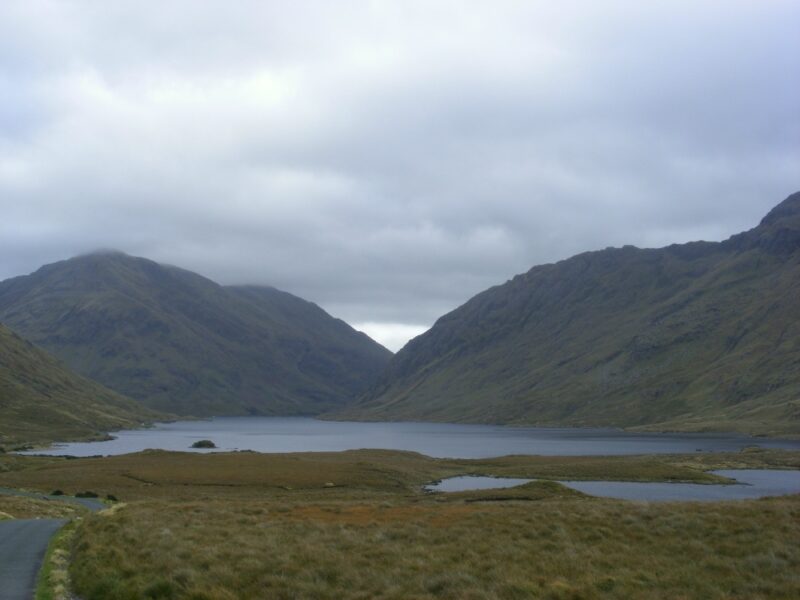
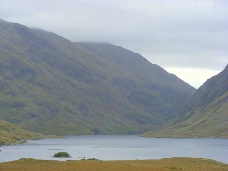
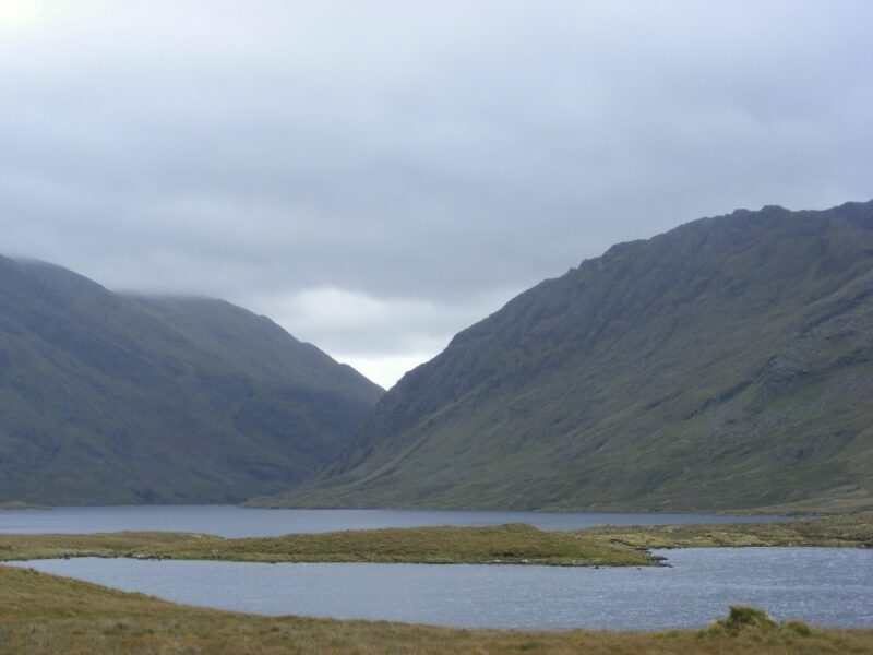
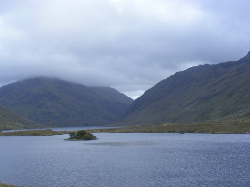
Doolough Valley must be one of the most spectacular locations in Ireland
Doolough is best approached from Louisburgh where, after a few miles, you come over a hill and meet the wonderful view down the valley. The lake itself, Doo Lough to be precise, is flanked by the Mweelrea Mountains on one side and the Sheffrey Hills on the other.
This is lovely place to stop and ramble and have a swim
The road runs alongside the lake and there are various places to pull in and have a quick dip. Like all lakes it must be treated carefully, so watch out for submerged rocks and boulders
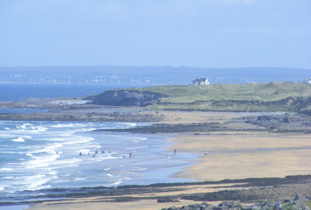
Ross Beach is located just a few miles outside the town of Killala
The facilities here are quite good. There’s a tarmacadamed car park with a couple of picnic tables and toilets. As well as steps down to the beach, this is one of the rare locations with a ramp for wheelchairs and buggies. Well done Mayo County Council.
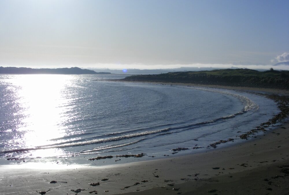
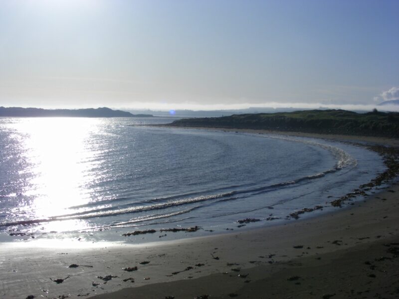
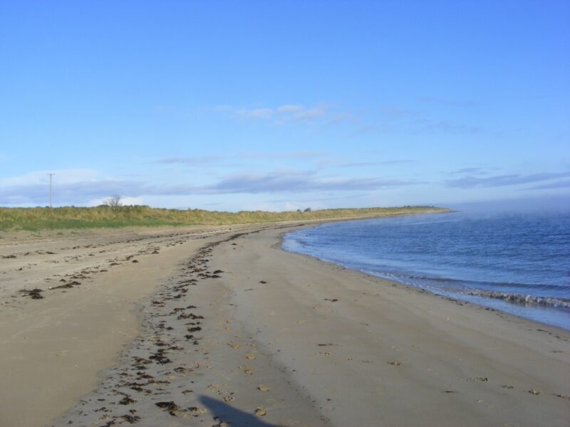
Ross is a nice long sandy beach, backed by dunes. It’s not too wide and nor is it too open and windswept. The curved shape provides added protection. The water here looks and feels clear and fresh.
This is a good beach for a walk and it must be 4/5 kilometres long if you stroll back toward Killala.
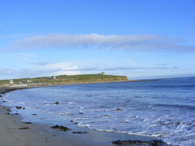
Looking out to sea Bartra Island is a short distance away and this is where Nick Faldo was (is?) designing a new links golf course. Right across the bay is Sligo and the seaside town of Enniscrone
If it’s sunny, lie back and imagine a fleet of French ships sailing into Killala Bay sometime in 1798. Next time it might be the IMF?
Lifeguard are on duty during the summer months. Blue Flag beach.
From the town of Killala you take the road in the direction of Ballycastle. A few kilometres beyond the town watch out for a right turn signposted for Ross Beach.
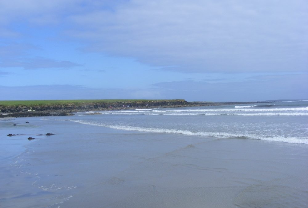
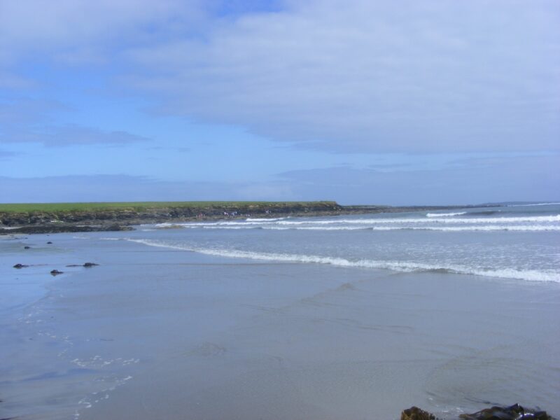
Fanore is a wide and long sandy beach, popular with families, young people and surfers.
While the beach is open there are rocks to shelter from the wind. It’s also dotted with pools for the kids to play in. The Burren is a spectacular backdrop and the Fanore dune system which surrounds the beach is designated as a European special area of conservation.
This is a popular surfing location with a surf school in operation when we were there. Surfers will enjoy the wavy sea when the wind blows. The water here is clear and fresh and the Burren is a lovely backdrop for your swim. But you need to be careful when the wind is blowing. Again, this is more suitable for people who like to mess about in the waves than go for a leisurely swim.
Blue Flag beach with lifeguards during the summer months.
How many beaches in Ireland are called White Strand ? Who knows, but here’s another one.
This is a nice, small and secluded beach, sheltered by rocks at either end. A good feature is steps down to the sand from a couple of locations. This White Strand looks across the bay to its big brother beach at Doughmore Bay called, you’ve guessed it, White Strand.
Lifeguards are on duty during the summer months. Blue Flag beach
The beach is buggy accessible, but not wheelchairs.
Killard has a good size car park. Watch out for the memorial to Pat McDonnell, 1912 Olympic shotput champion, who was born near the beach in 1878.
Access is off the N67 between Kilkee and Doonbeg. About 5km from Kilkee you take a left turn at the signpost for The White Strand B and B. The beach itself wasnt signposted when we were there( surprise, surprise) but if you follow the ‘White Strand’ B and B signs they will take you there.