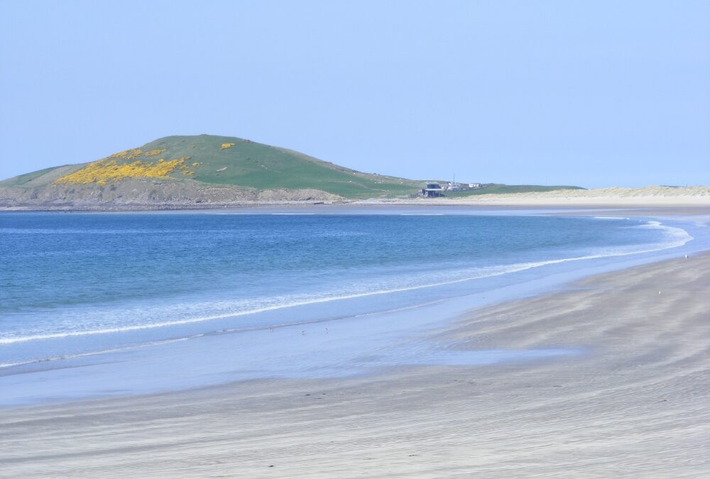
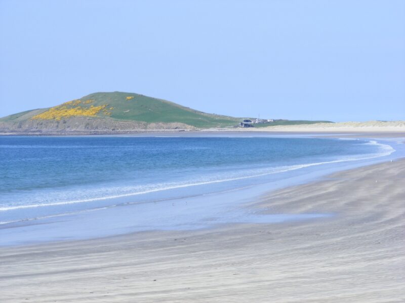
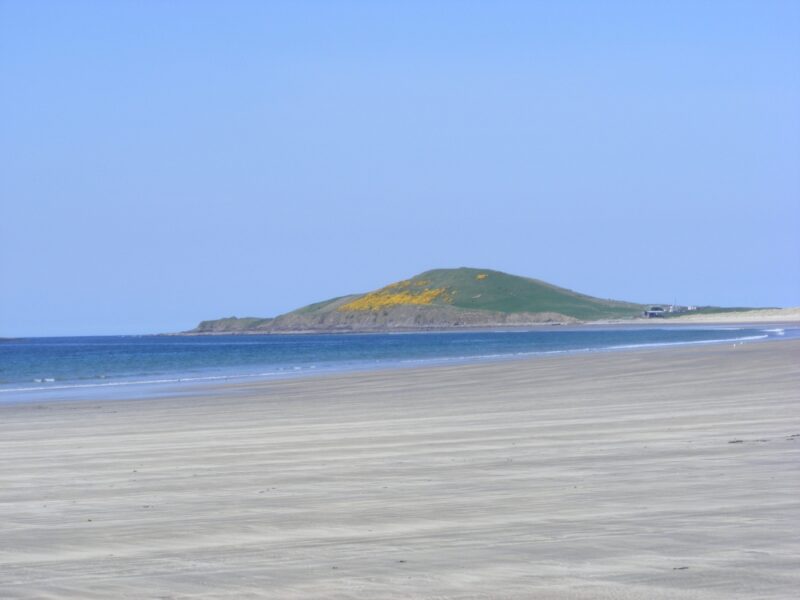
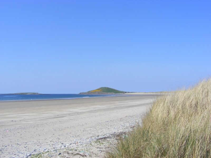
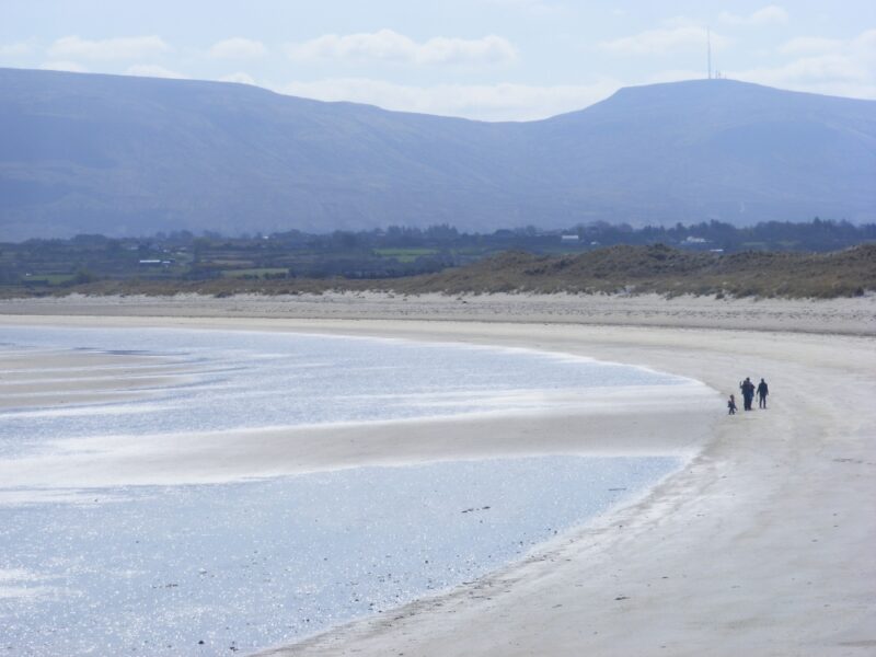
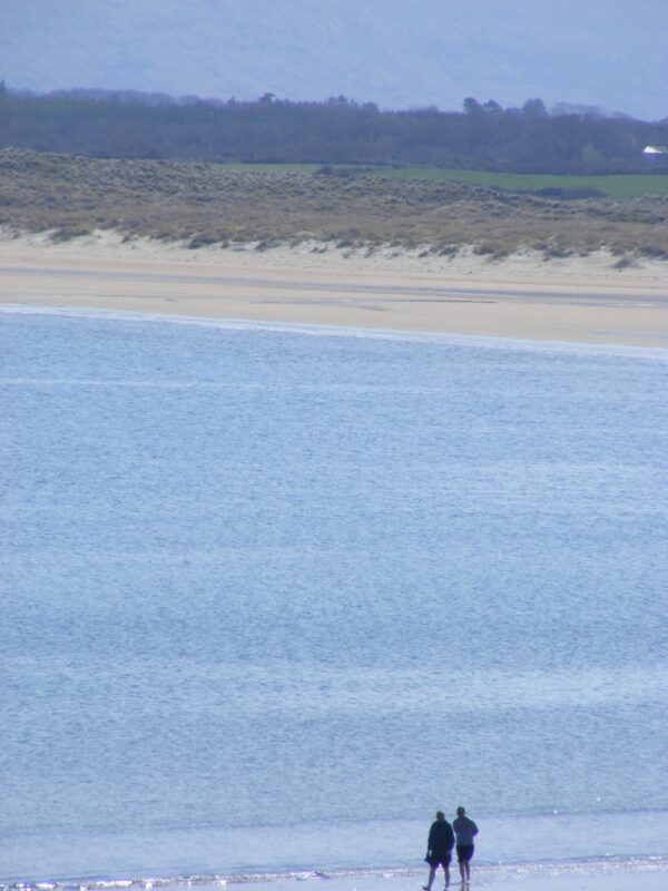
If you want to get away from it all then this is the beach for you. On the Ordnance Survey map its called Yellow Strand and we don’t really know what it’s called locally as we never met anyone there on two visits.
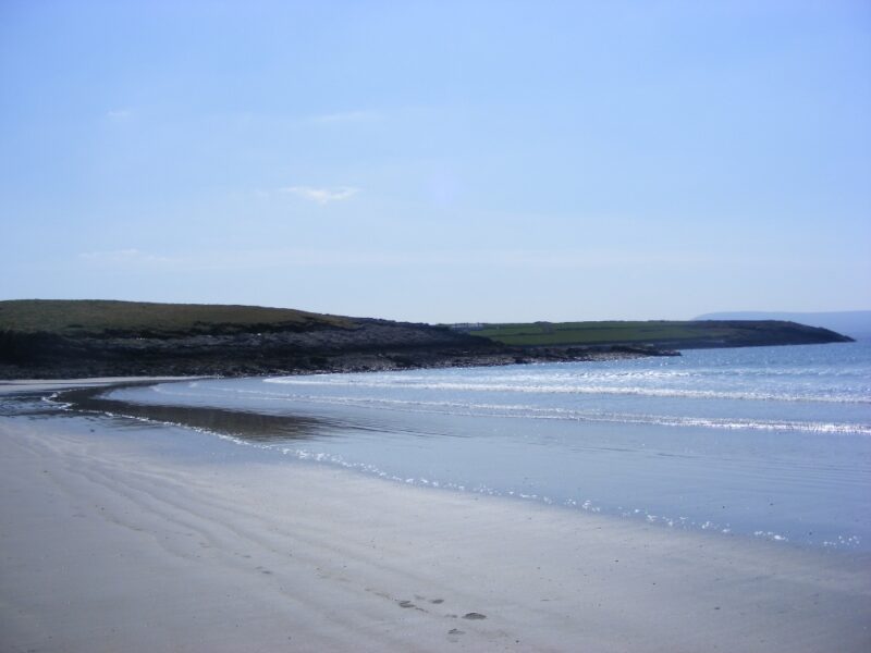
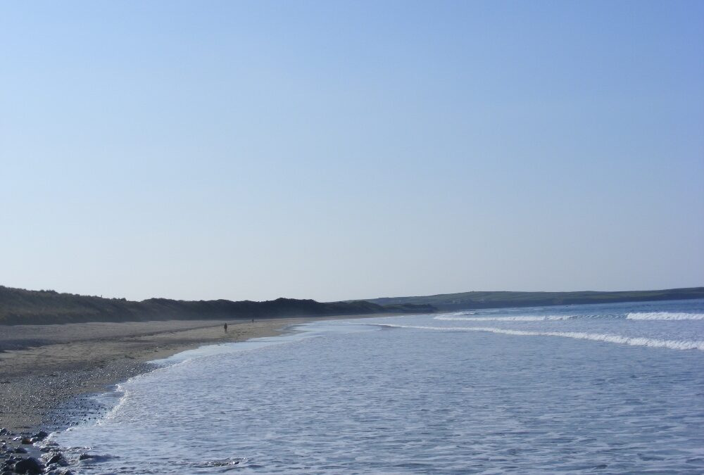
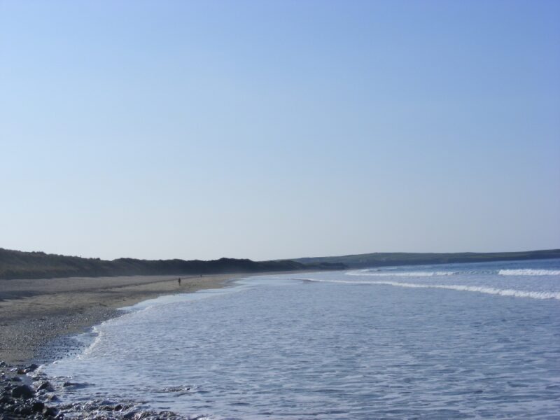
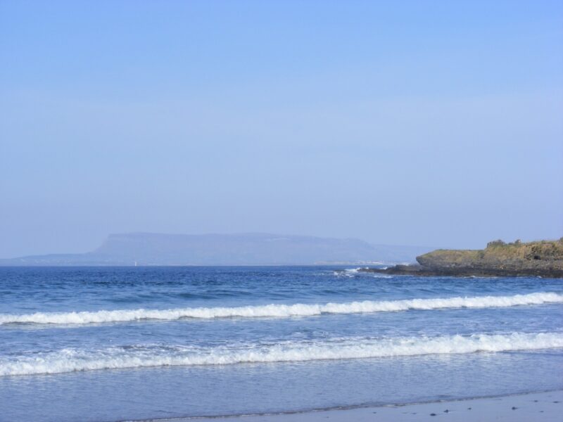
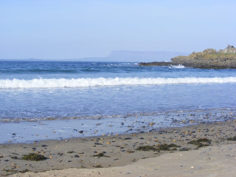
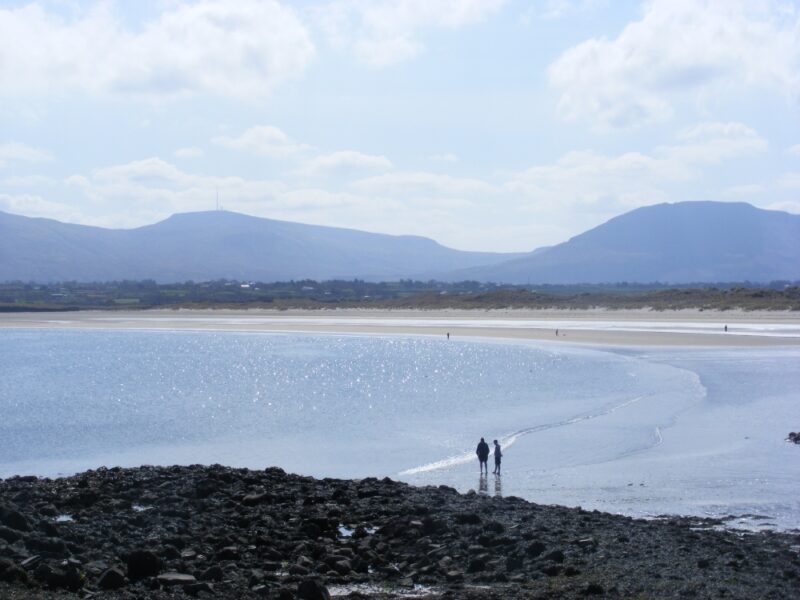
Raghly is a bit difficult to get to but well worth the effort. It’s a lovely stretch of sand, open but with some shelter in the small dunes. The water here is fresh and used by Sligo’s many surfers. The beach has rocks at one end and the attractive Knocklane hill at the other.
The first time we visited Raghly it was just ourselves and a few distant surfers .We had the pleasure of watching a small puppy seal waddle into the water, so you never know your luck. This time it was ourselves alone.
If there are few/ no people about be extra careful in the water.
Take the N15 from Sligo toward Bundoran / Donegal. At Drumcliffe watch out for a left turn signposted Lisadell House and Raghly. At the village of Carney keep following the Lisadell signposts and then go straight past the left turn for Raghly toward Ballyconnell. If you don’ t have a detailed map you will likely get lost, so just ask for directions —- if you can find anyone.
Dunmoran is a long stretch of beach, good for both swimming and walking. The water can be wavy but it’s nice and soft underfoot as you enter the fresh, clear water.
The beach is surrounded by dunes which are good for the kids to scramble in.
There is a decent sized car park and as it’s a bit off the beaten track Dunmoran is less likely to be as busy as some of Sligo’s better known beaches.
There is a ramp down to a stony section so you could get a buggy on to the beach, however it’s not wheelchair accessible.
Not sure about lifeguards, check with Sligo County Council
Coming from Sligo or Dublin you take the N 59 to Balllysadare. From there you take the N 59 and watch out for a right hand turn signposted Aughis Point / Dunmahon Strand which will take you to the car park.
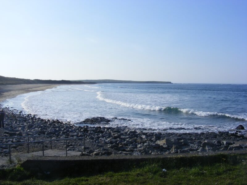
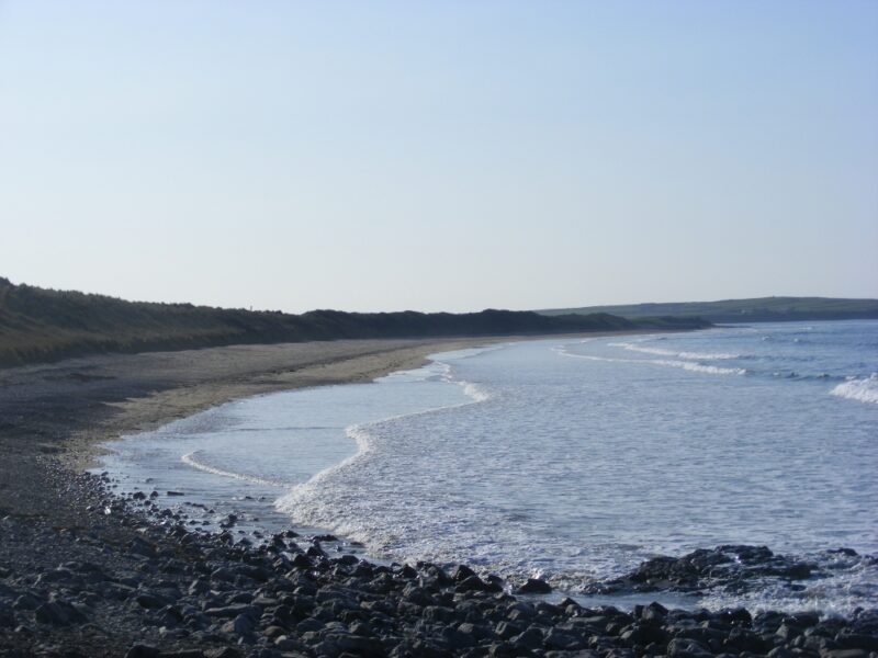
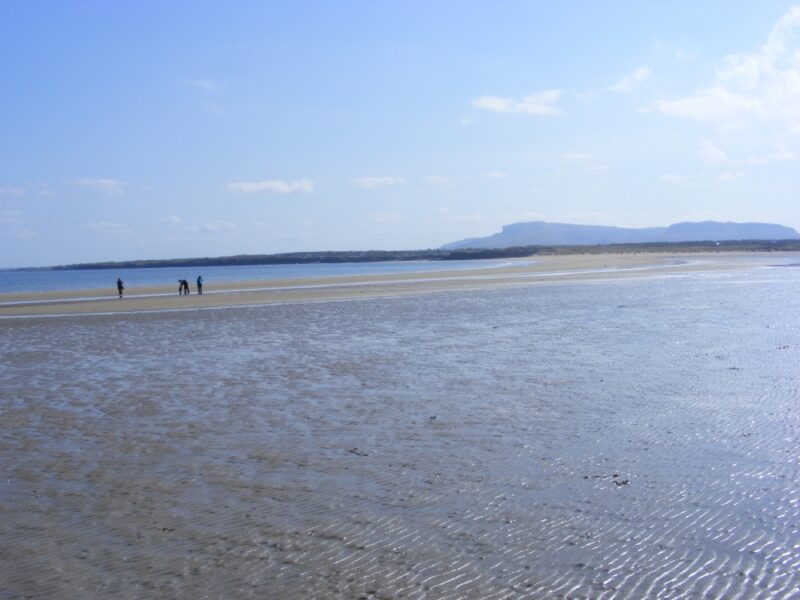
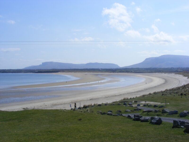
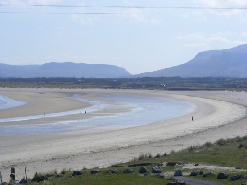
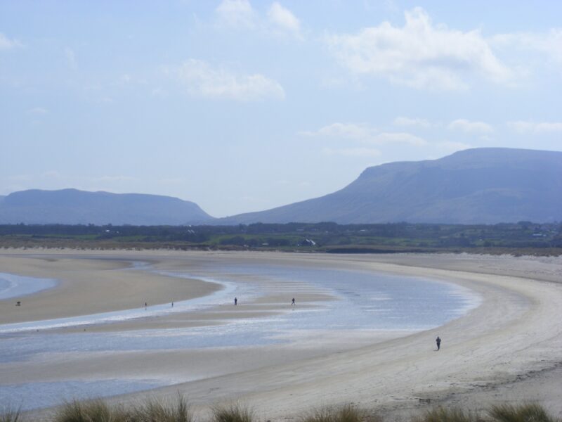
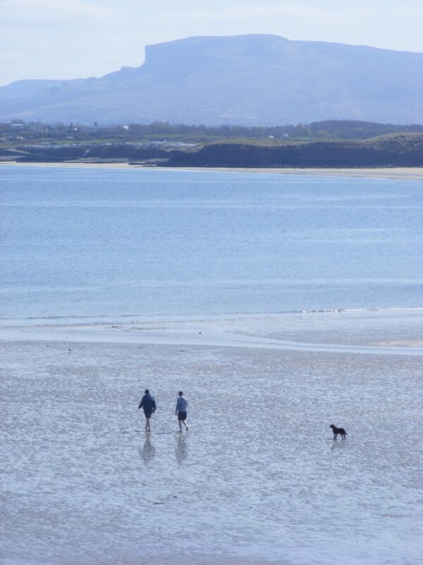
Mullaghmore is one of Sligo’s many fine beaches, a lovely place for swimming, walking and playing.
The beach is a fine expanse of sand with small sand dunes in the background and nice views of Tievebaun and Truskmor mountains behind.
The water here looks and feels clean, its soft underfoot and you get to your depth gradually. There is plenty of space for children to play and Mullaghmore is not too exposed to the winds
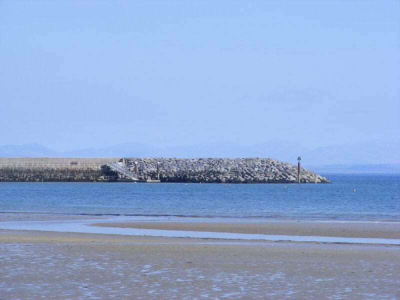
There is a smallish grassy car park but more spaces are available as you drive past the beach and nearby harbour. Public toilets are available at what is a 19th century harbour which in itself is an attractive spot. A nice green area with some seats overlooks the beach and gives you panoramic views.
This is one of the few places we have come across with a designated area for wheelchair access, so well done to Sligo County Council. Presumably this can be used for buggy access as well.
This is a busy spot in summer time and it won’t be as empty as the photos here. Still there’s lots of room for everyone.
From Sligo take the N15 toward Bundoran / Donegal. At the village of Cliffony watch out for a left turn onto the R27, signposted Mullaghmore. Follow this road and it will take you directly to the beach.
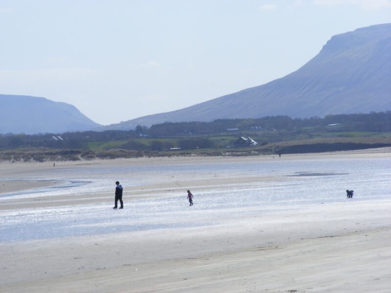
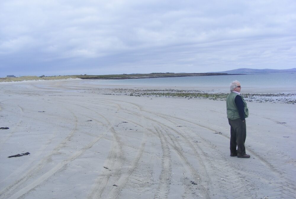
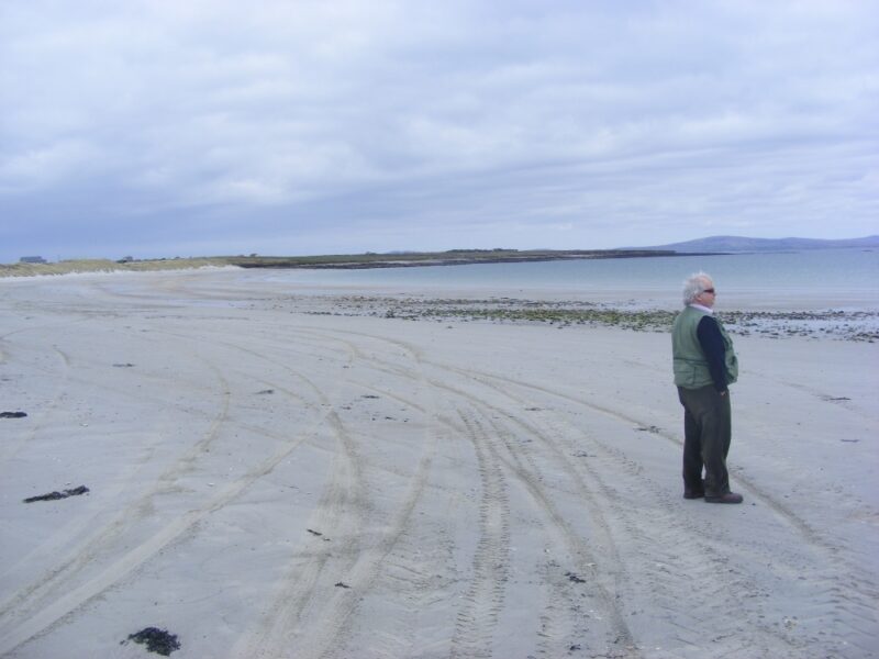
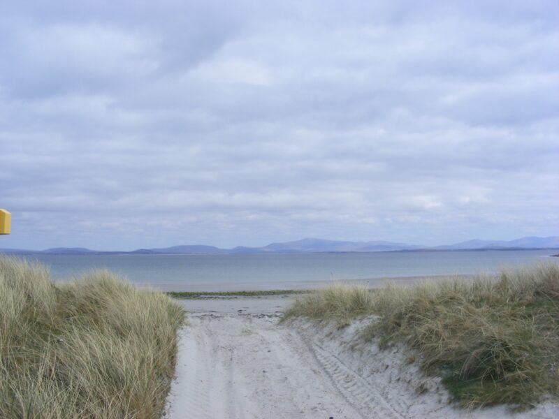
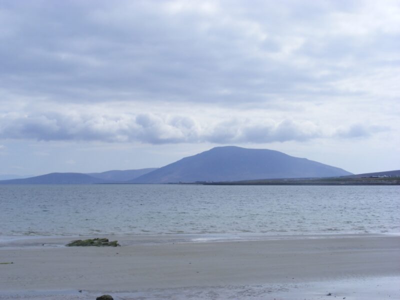
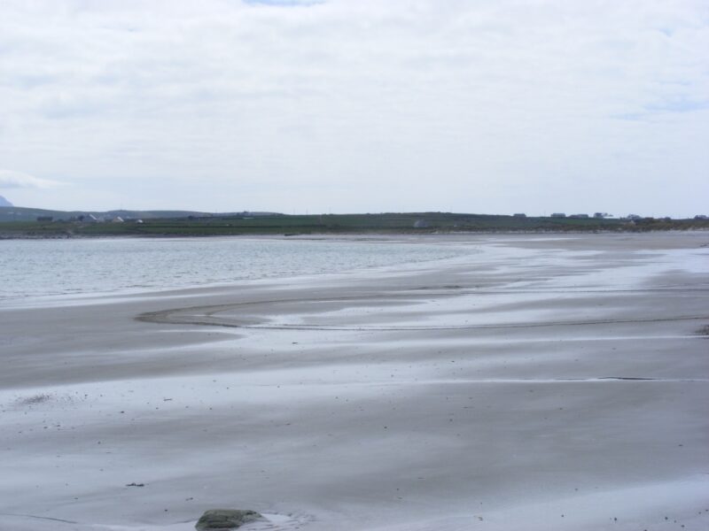
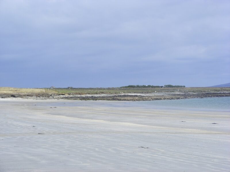
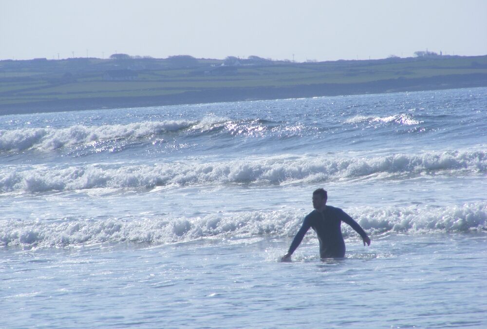
Mullaghroe is a nicely curved, secluded beach. The sand is soft, the water is clear and sheltered and there are nice views across Blacksod Bay. Not surprisingly, on a nice day in April, we were the only ones there and most definitely the only ones swimming
There are dunes for shelter and rocks at either end, so it’s a good spot to bring the kids
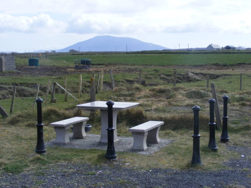
Mullaghroe has a small car park which leads across a small sandy stretch to the beach. It’s not wheelchair accessible but with effort you could lift a buggy across. In the car park there is one small, marble like picnic table which seem to be a feature of these parts. Nice and quite surreal
Blue Flag Beach .
Not sure about lifeguards – check with Mayo County Council
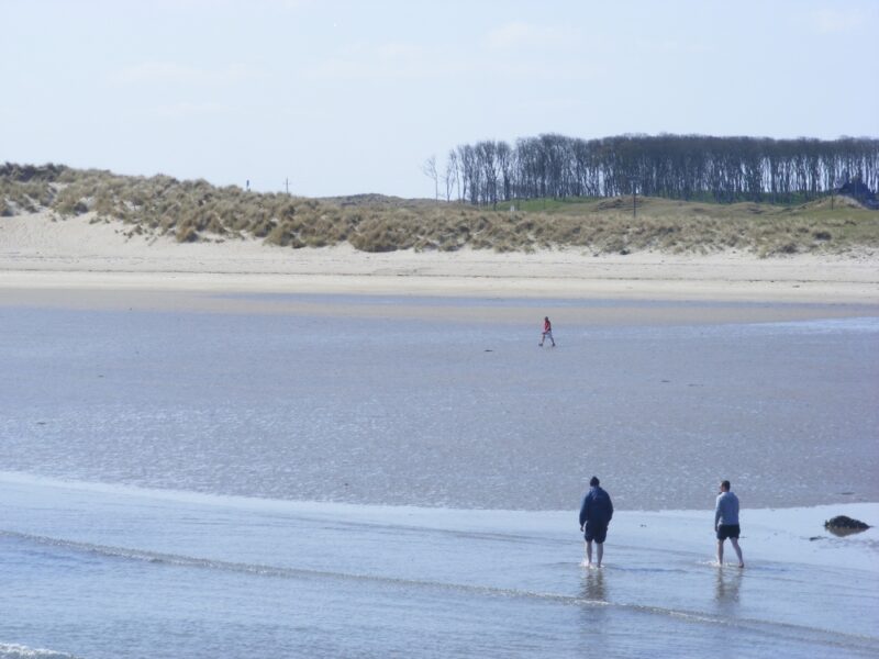
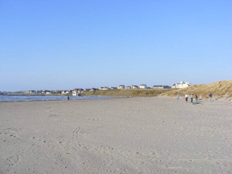
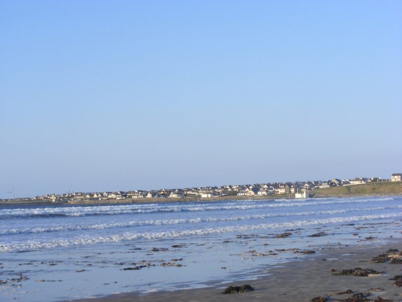
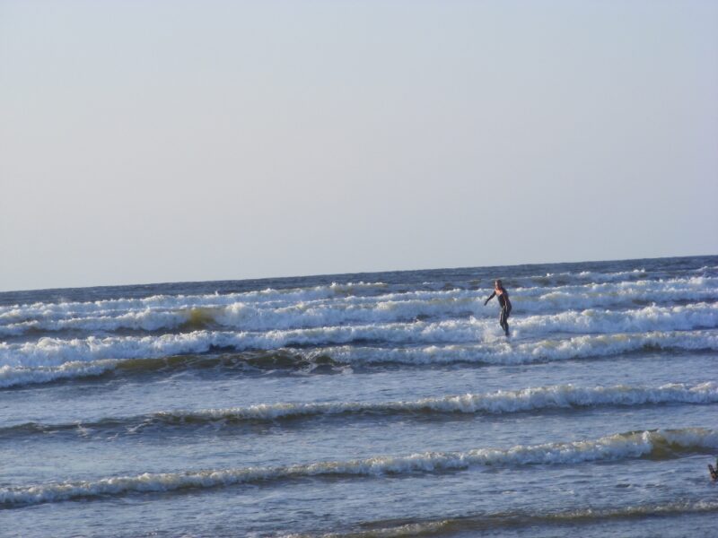
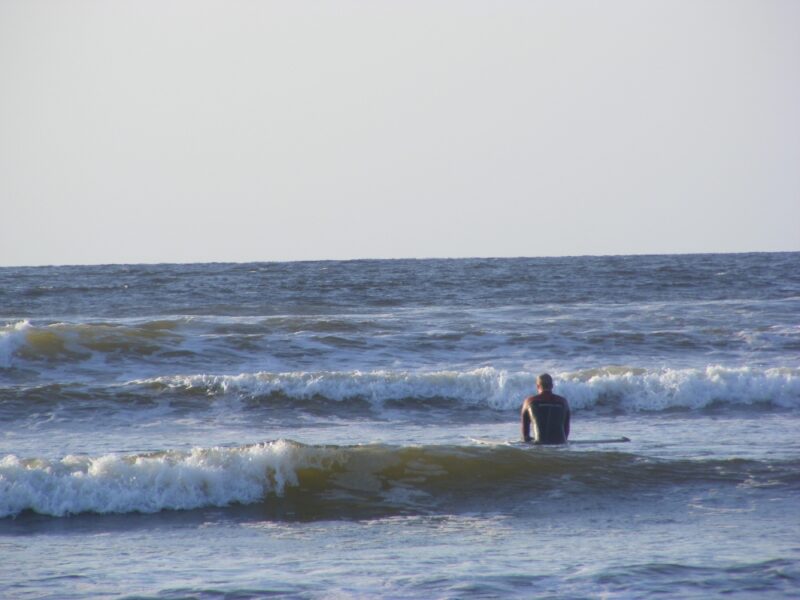
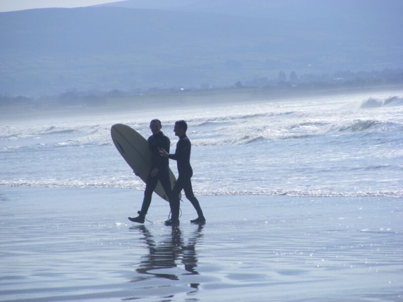
Enniscrone is a popular seaside town with a long beach which is well used by families and surfers. It’s a good place to go if you like a bracing walk after your swim as the beach must be 5 kilometres long.
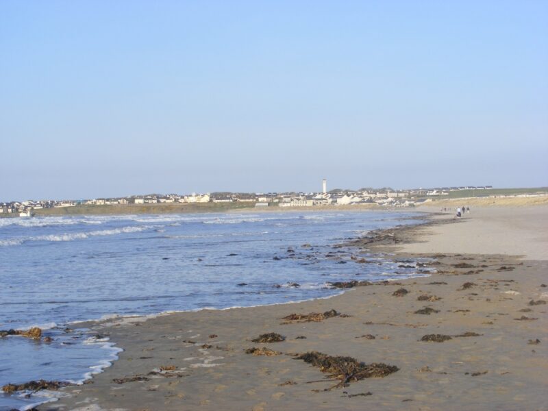
The beach itself is quite open, wavy and obviously attractive to the surfing community. As you can see from the photos it probably gets more surfers than swimmers. It’s not so good if you are looking for somewhere to have a calm leisurely swim. But if you like the waves then this is a good spot.
And if you don’t fancy all those waves then you can retire to one of Enniscrone’s famous seaweed baths.
There is decent car parking near to the beach and there are also public toilets. Lifeguards are on duty during the summer months.
Access is from the N 59 which you can get to via Ballina in Mayo or from Ballysadare. You then take the R 297 signposted Enniscrone which will bring you to the town. The beach is just behind the town and is signposted.