by Brian Kenny | Jul 14, 2009 | Clare
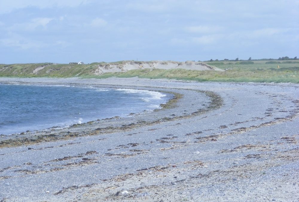
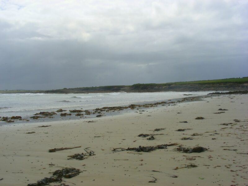
Bishopsquarter Beach
June 2009
A good beach if not a great beach!
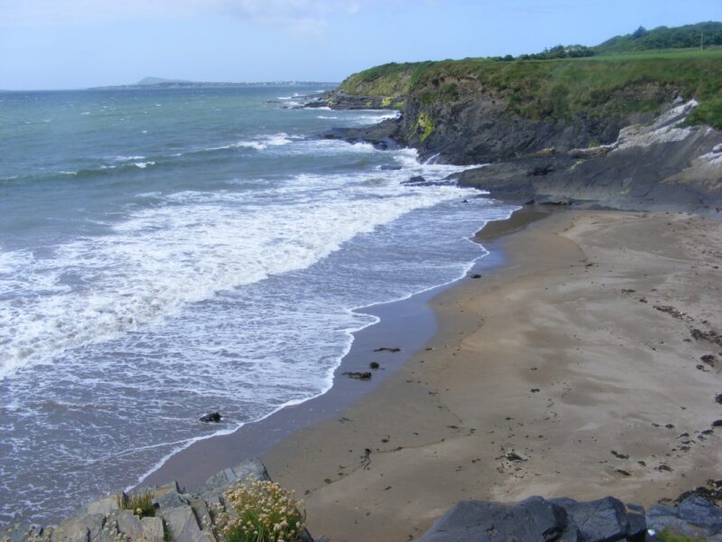
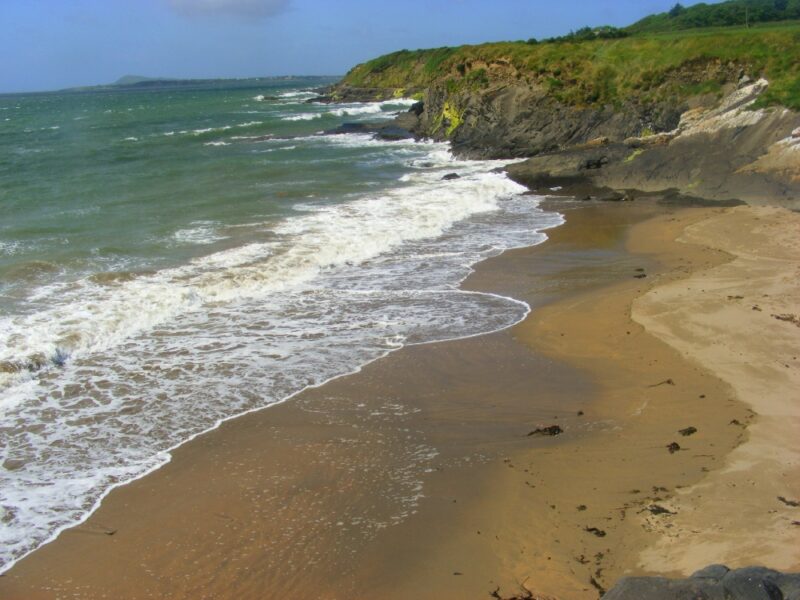
Bishopsquarter is a beach of the stony variety and there isn’t a whole lot of sand about. Access into the water can also be a bit stony and awkward underfoot.
However, the water here is lovely and clear and you will swim surrounded by magnificent views of the Burren. So it well worth a bit of discomfort.
Bishopsquarter also has ample car parking. Accessible for buggies with an effort. Not wheelchair accessible.
Directions
View Larger Map
This beach is located on the R477 a couple of kilometres beyond the town of Ballyvaughan as you head toward Kinvara. Watch out for a left turn with a signpost for the beach.
Ordnance Survey Discovery Series Map No. 51


]]>
by Brian Kenny | Jul 14, 2009 | Clare
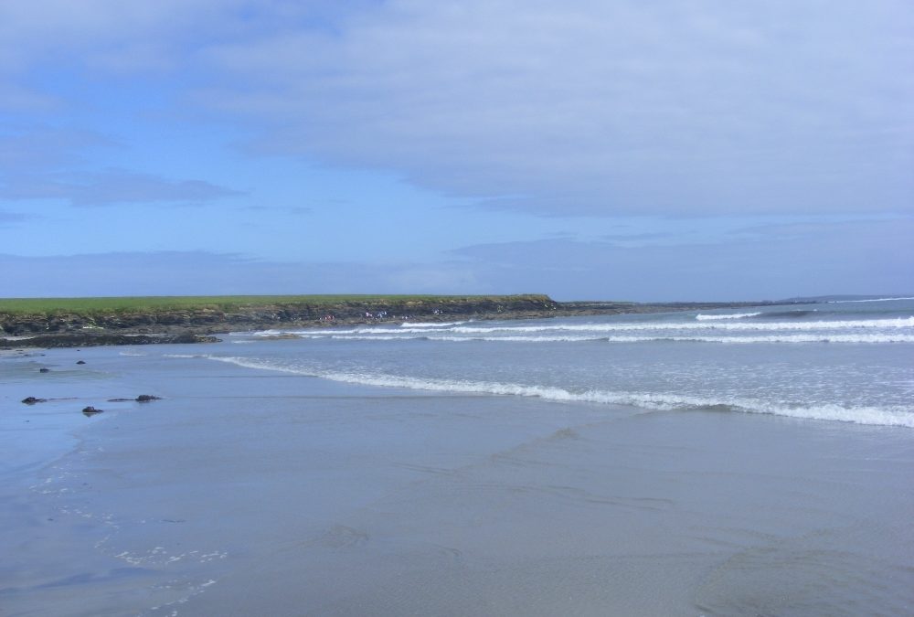
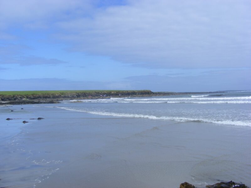
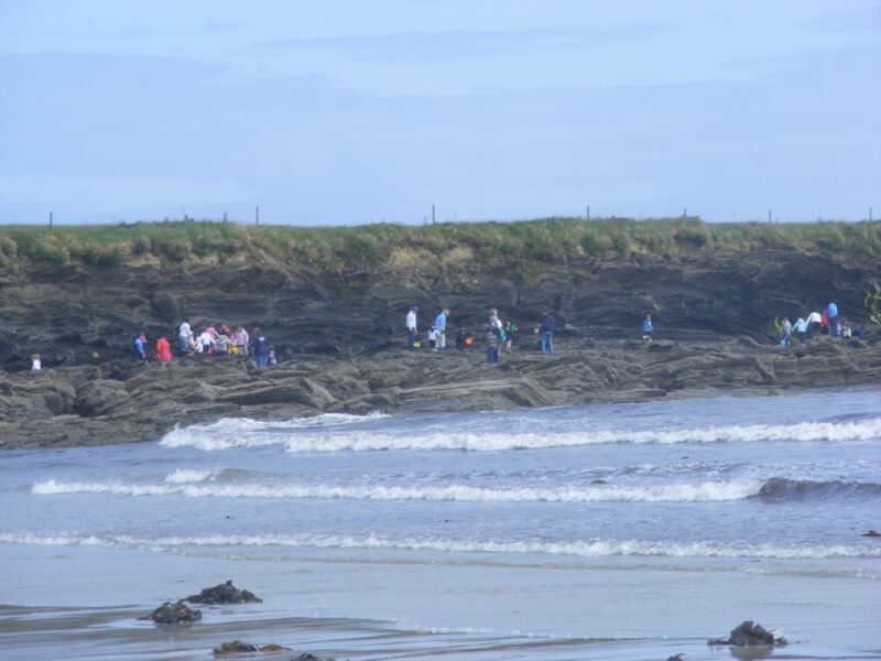
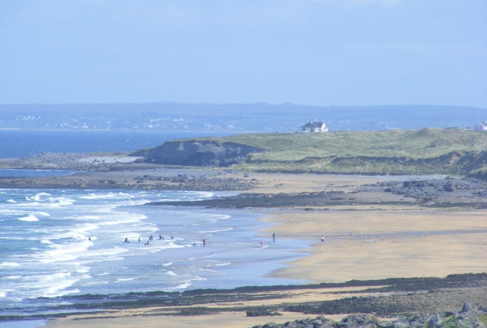
White Strand, Killard, Doonbeg
June 2009
How many beaches in Ireland are called White Strand ? Who knows, but here’s another one.
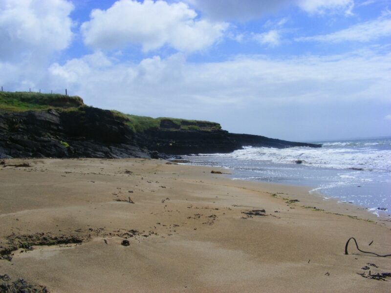
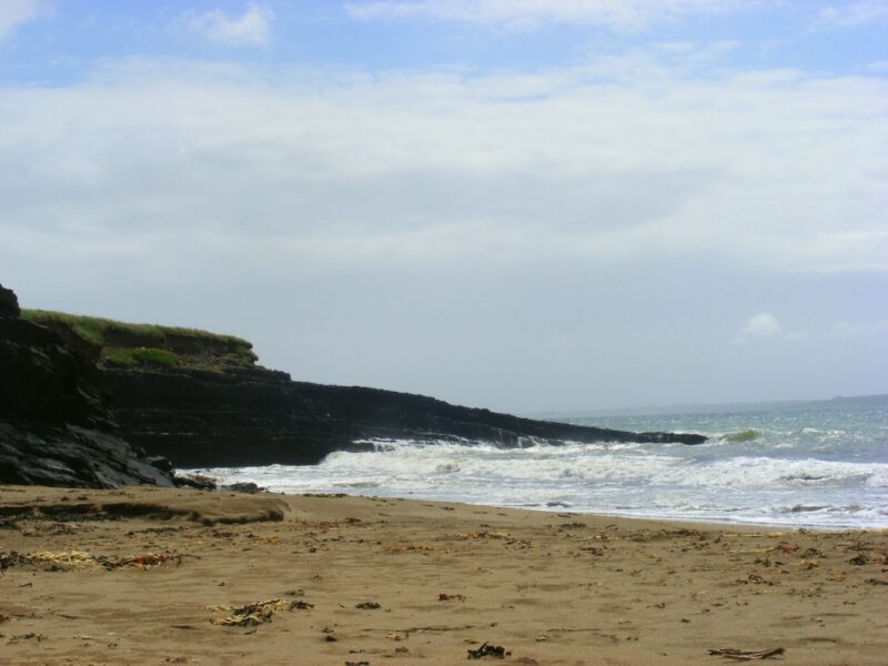
This is a nice, small and secluded beach, sheltered by rocks at either end. A good feature is steps down to the sand from a couple of locations. This White Strand looks across the bay to its big brother beach at Doughmore Bay called, you’ve guessed it, White Strand.
Lifeguards are on duty during the summer months. Blue Flag beach
The beach is buggy accessible, but not wheelchairs.
Killard has a good size car park. Watch out for the memorial to Pat McDonnell, 1912 Olympic shotput champion, who was born near the beach in 1878.
Directions
View Larger Map
Access is off the N67 between Kilkee and Doonbeg. About 5km from Kilkee you take a left turn at the signpost for The White Strand B and B. The beach itself wasnt signposted when we were there( surprise, surprise) but if you follow the ‘White Strand’ B and B signs they will take you there.
Ordnance Survey Discovery Series Map No. 57
]]>
by Brian Kenny | Jul 14, 2009 | Clare
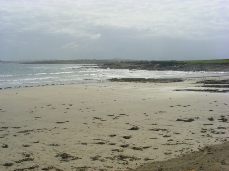
Fanore Beach
June 2009
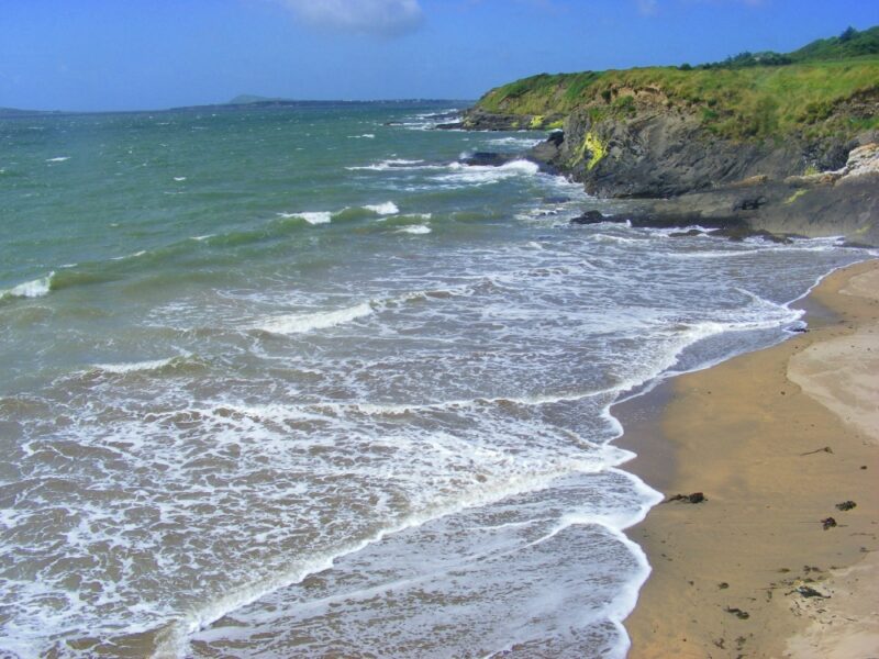
Fanore is a wide and long sandy beach, popular with families, young people and surfers.
While the beach is open there are rocks to shelter from the wind. It’s also dotted with pools for the kids to play in. The Burren is a spectacular backdrop and the Fanore dune system which surrounds the beach is designated as a European special area of conservation.
This is a popular surfing location with a surf school in operation when we were there. Surfers will enjoy the wavy sea when the wind blows. The water here is clear and fresh and the Burren is a lovely backdrop for your swim. But you need to be careful when the wind is blowing. Again, this is more suitable for people who like to mess about in the waves than go for a leisurely swim.
Blue Flag beach with lifeguards during the summer months.
There is also good parking and O.K. toilets.
Buggy accessible, but not wheelchairs
Directions
View Larger Map
Fanore is located on the R477 between Doolin and Ballyvaughan and is sign-posted.
Ordnance Survey Discovery Series Map No. 51


]]>
by Brian Kenny | Jul 14, 2009 | Clare, Rivers
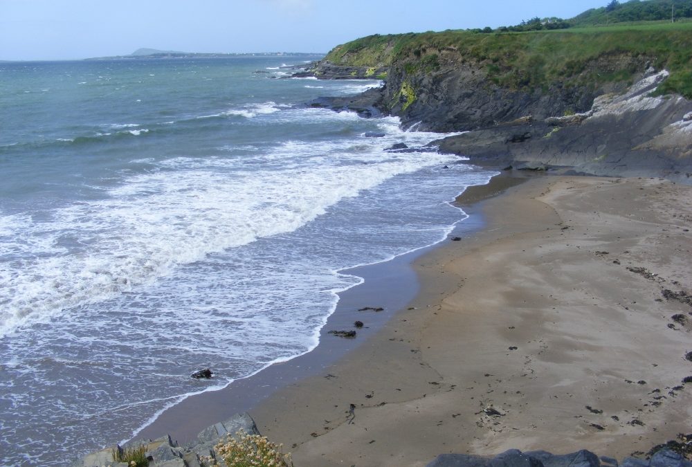
Glasheen Beach
June 2009
Glasheen is small, secluded and sheltered by rocks at either end. Out to sea you are looking across the mouth of the Shannon River to the Kingdom of Kerry.
On a warm sunny day in June we were the only ones there, a common feature of many, off the beaten track beaches in Ireland.
Glasheen has a decent sized car park, a couple of stone picnic tables and steps which lead you down to the beach.
Buggy accessible, but not wheelchairs.
Directions
View Larger Map
From the town of Kilkee take the R487 signposted for Loop Head. Watch out for and take a left turn sign-posted Doonaha. When you come to a crossroads you go straight through (not signposted when we were there) which leads you to Glasheen beach.
Ordnance Survey Discovery Series Map No.63
]]>
by Brian Kenny | Jul 12, 2009 | Lakes, Rivers, Wicklow
A walk and a swim that’s well worth the effort.
Start at the pier gates , if you come from the sally gap will give you spectacular views of lough Tay
This is a private estate but is open to walkers and hikers ( but not dogs). You start down a tarred road where after a short while you come to a sign which says Lough Dan 2 Irish Miles. From here its about a 40-50 minute walk
The tarred road leads you across a wooden bridge , across a stile and then onto a soft grassy track with stone walls on either side. To your left runs the River xxx and in the large often wet fields a large herd of deer often graze. As you proceed the large broadleaf bend low almost touching the rivers water
The grassy track leads to an old derelict two story house and from there you can wend your way to the lakes edge and a small sandy area
Here is the lake on one side and behind you the river runs into lough dan
The lake is large and impressive with Knocknacloghue on one side and Kanturk on the other
The lake bottom is sandy and not too deep as you enter. A gentle lapping sound and a nice spot for a picnic. No fires.
Directions : Take the r115 military road from Dublin city past Glencree to the sally gap. Here take the r759 signposted roundwood after you pass Lough Tay you come soon to a large set of gates with a sign for the Lough Dan estate