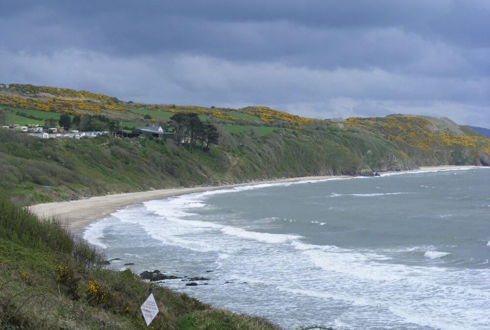
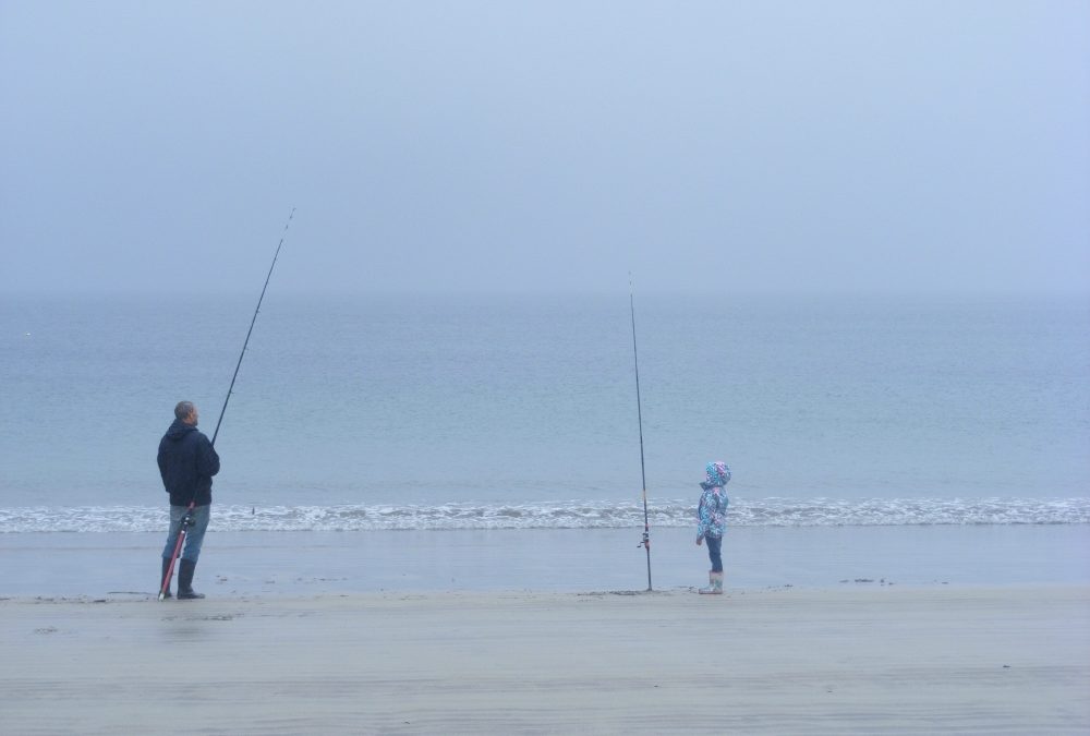
Clogga is a good sized beach and well established swimming spot. There is good depth to the water as you enter and it is a bit exposed so you can expect some waves. Also look out for submerged or semi submerged rocks at the far end. The beach itself is a bit stony, but good for walking.
When we were there in May it was dull, windy and the water was cold. Lovely swimming, but we couldn’t understand why no one else was in the water with us ?
Coming from Dublin Clogga is a few kilometres past Arklow town. It’s best to drive through the town and at the end of the various roundabouts take the N 11 Wexford signpost. After a short distance watch out for a left turn signposted Clogga. Follow this twisty road which will lead you to a good sized car park. Access to the beach is down a long, rough path followed by some steps. It’ s not wheelchair or buggy accessible.
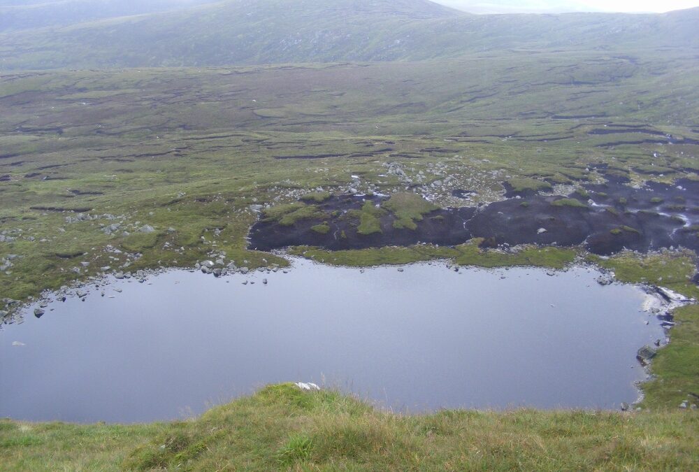
Serious walkers only need apply. Cleevaun Lough is a corrie lake set at the foot of Wiclow’s 849 metres high Mullaghcleevaun Mountain. This one is not for the fainthearted.
The lake can be approached from a few different directions but whichever way you go requires at least a two hour hike. So this is only for experienced and well equipped hikers and, indeed, experienced swimmers.
However, if you get there it’s well worth the effort. Set at the base of impressive Mullaghcleevaun, Cleevaun Lough is surrounded by the mountains of Duff Hill, Gravale and Carrigvore which stretch back to the Sally Gap.
The lake’s waters are dark, clear and refreshing. As always this and any other lake has to be treated carefully as you can’t see the bottom or its submerged rocks. Don’t swim here alone.
This is a lovely spot for a swim, sunbathing and a picnic. If you see anyone else while you are there, count yourself lucky (or unlucky as the case may be).
Directions
Firstly, you need Ordinance Survey Map 56 to find your way across the mountains. From Dublin the best route is to take the R115 Military Road and head for the Sally Gap. From the Gap you stay on the Military Road and after a few kilometres s there is a small parking area, marked on Map 56.
From here you have a good, strong walk across four peaks and you can descend to the lake from Mullaghcleevaun East Top or Mullaghcleevaun itself.
Be warned that there is a steep descent to the lake which needs to be negotiated slowly and carefully.
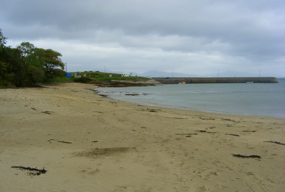
Old Head is a popular beach located just outside Louisburgh.
The beach is long, narrow and sandy. It’s protected by cliffs, with an attractive old style harbour at one end. The water here is clear and it’s sandy underfoot. This is a good spot for kids as it doesn’t get deep too quickly. As you swim you have lovely views across the water to Croagh Patrick. Indeed, this is a good place to come and refresh yourself after your climb.
The beach itself is well maintained and there is ample car parking and toilets. There’s also a nice campsite nearby and Louisburgh is just a mile away.
From Westport you take the R335 and drive along this coast road past the impressive slopes of Croagh Patrick. Before you get to Louisburgh you will see a right turn signposted for Old Head, follow this and it will lead you the beach.
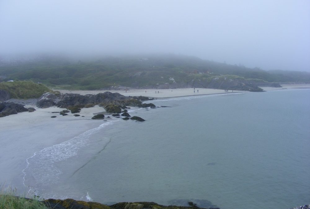
Derrynane beach is a real gem. When we were there last, the sun shone, the sea was blue and it felt and looked like a Greek Island.
The beach is a lovely mix of clear sand, rocks to scramble over, coves and small beaches. There are large stretches to walk on and explore. However, steer clear of swimming in the section marked with warning signs for dangerous currents.
At low tide you can walk across to nearby Abbey Island where its graveyard is the burial place of Mary O’Connell, wife ofThe Liberator, Daniel. He got a round tower in Glasnevin and Mary ended up in an overgrown and poorly kept graveyard.
The beach has access from nearby Derrynane House, Daniel O’Connell’s home (open to the public). Beside it there is a nice coffee shop.
The beach is located off the N 70 Ring of Kerry Road. When you get to the small town of Caherdaniel watch out for the signpost to Derrynane. You can park at the house car park and walk a few hundred yards to the beach. Alternatively a bit further on there is another car park with an even shorter walk. There are toilets at this car park.
Ballinskelligs is a real family beach with some decent facilities. The beach itself is curved and nice and sandy. The water is clear and there is a gentle slope into the sea.
At one end of the beach there is a ruined tower which you access across a stream. It looks like a good place for kids to explore. At the entrance to the beach itself there is a nice coffee shop with indoor and outdoor seating
Ballinskelligs has lifeguards in the summer, a decent car park and public toilets. The beach appears to be reasonably accessible.
Ballinskelligs is located off the N70 Ring of Kerry road. If you are coming from the Caherciveen direction you will take a right turn onto the R566. Follow the signposts which will lead you to the beach