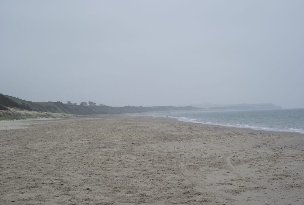
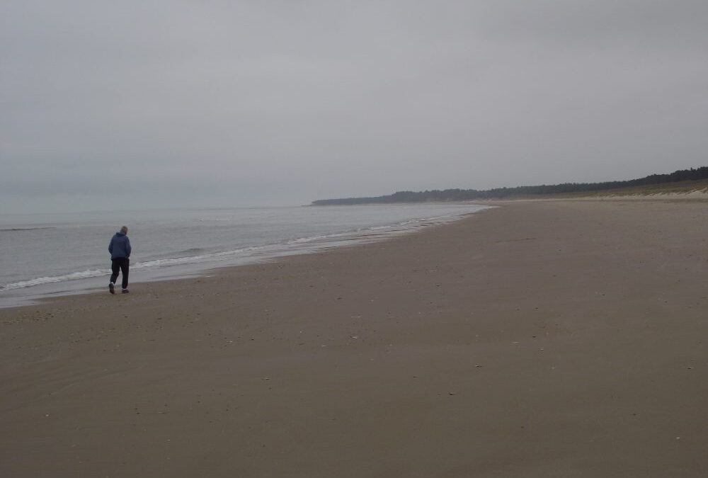
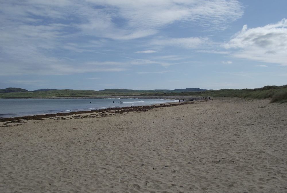
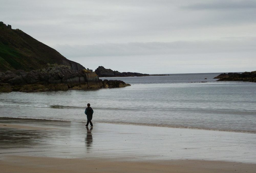
Ballinesker is really just an extension of the long stretch from Curracloe . That means miles of beach with dunes to the rear. Again, it’s quite open and you will be exposed when it’s windy.
There is a gradual wade in to the water and it’s sandy underfoot. If you are up to it you can have a very long swim alongside the beach. And if you have children with you there is any amount of space for them to run and play. Blue Flag beach.
Ballinesker has a good sized car park with toilets. There is a boardwalk which goes half way to the beach and then runs into soft sand, which makes it inaccessible for wheelchairs. Why?
Directions
From Wexford take the R741 road toward Gorey and Dublin. After a few kilometres turn right onto the R742 signposted for Curracloe and Courtown.. Drive through Curracloe and within a couple of kilometres you will come to a right turn signposted for the beach.
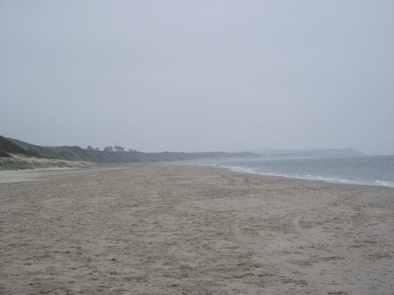
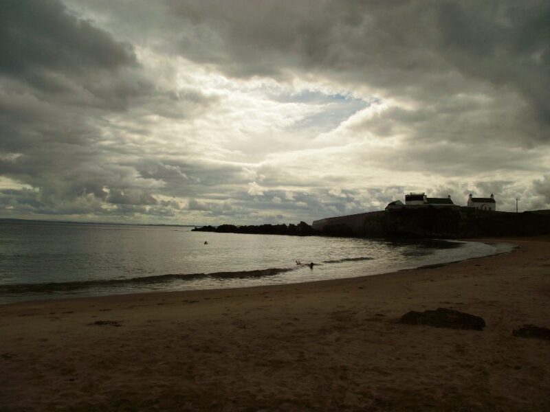
If it’s long beaches you want, then go to Curracloe.
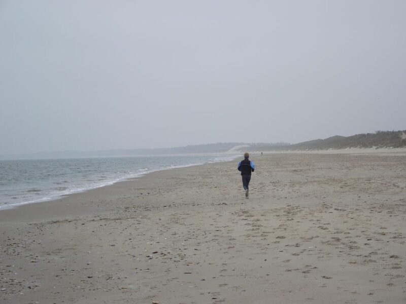
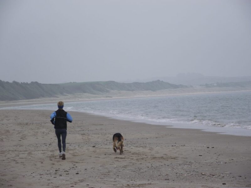
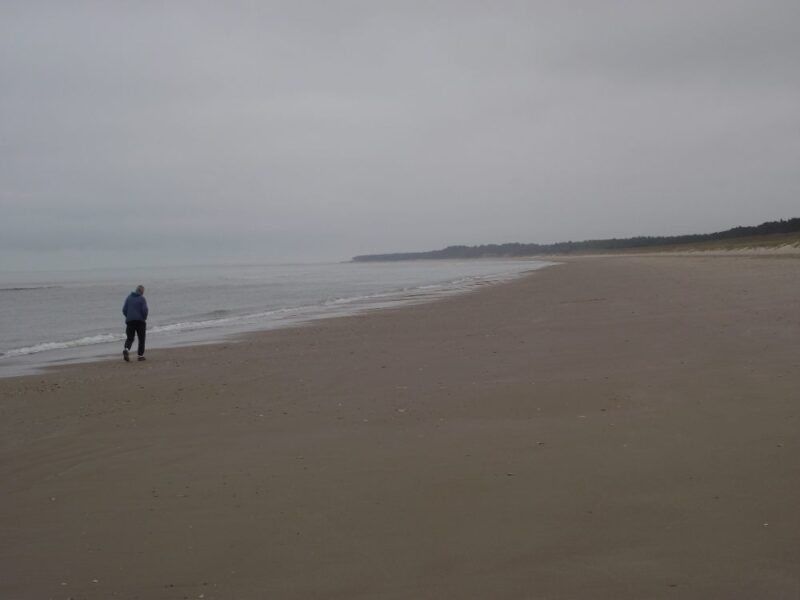
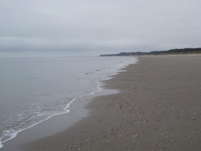
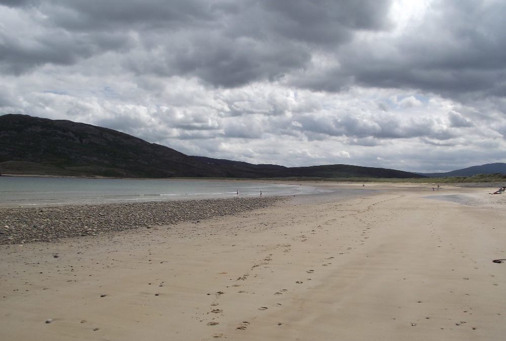
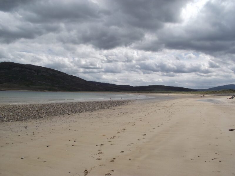
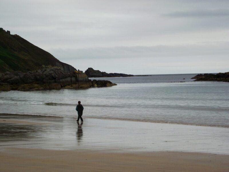
This is a wide expanse of beach which must be six kilometres long if you take in the whole stretch up to Blackwater Head. In fact, this whole coastline from Ballymoney to Wexford appears to be just one long beach.
So, there is plenty of sand in Curracloe but also lots of water. You can get into your depth fairly quickly here and it’s sandy underfoot, so it’s a good place for a swim. However, the beach is fairly exposed so the water can get choppy. If you are thinking of spending some time here, bring your windbreak.
Curracloe has a good sized car park, with toilets nearby. A board walk runs from the car park up to the beach, but then runs into the sand, literally, before you reach the hard sand. Why this happens we don’t know but it does mean the beach isn’t wheelchair accessible, but you will manage with buggies.
Lifeguards are on duty during the summer months. Blue Flag beach.
Directions
From Wexford take the R471 toward Gorey and Dublin. After a few kilometres take a right turn onto the R742 signposted Curracloe and Courtown. In Curracloe take a right turn onto the R743 signposted for the beach. This road will lead you to the car park.
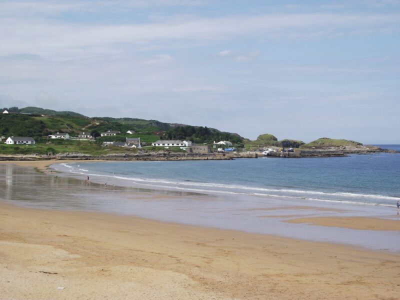
Pollan Bay appears to be a popular holiday beach and there were plenty of surfers in the water when we were there. The water is lovely and clear and sandy underfoot. The Bay is sheltered and seems to be a good place for swimming.
The beach itself is sandy at the car park end but stony further on. There are rocks for shelter at one end along with the dunes to the rear. The car park is a good size and there is both wheelchair and buggy access from it to the beach. Near the car park there is also a children’s playground.
Directions: From Carndonagh take the R240 for Buncrana. After about 1 kilometre you turn right onto the R238 for Ballyliffin. In this village watch out for a right turn signposted for Pollan Bay.
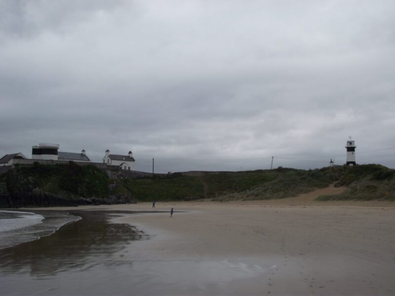
Culdaff is a real gem and not far behind Portsalon in the ‘best beach in Donegal’ league table.
Nestling in Culdaff Bay, with a pier at one end and Dunmore Head at the other, the beach here is well sheltered. When we visited, the water was clear and lovely for swimming. There was a gradual wade in and the sand underfoot added to the whole experience.
While the beach is long, there are a couple of smaller sections at one end sheltered by rocks and good for children to play in and be watched. For any one with energy there is plenty of room for walking and running.
Overall, this is one of Donegal’s best beaches.
Blue Flag beach with lifeguards in the summer months. The first car park you come to has basic toilets and a concrete ramp which then runs into soft sand. It is fine for buggies, but very difficult for wheelchairs. The second car park has a children’s play area beside it.
Directions: From Moville take the R238 signposted Gleneeely. At Gleneeely take a right turn signposted Culdaff . You then have to watch carefully for a sharp right turn signposted ‘ Tra’.
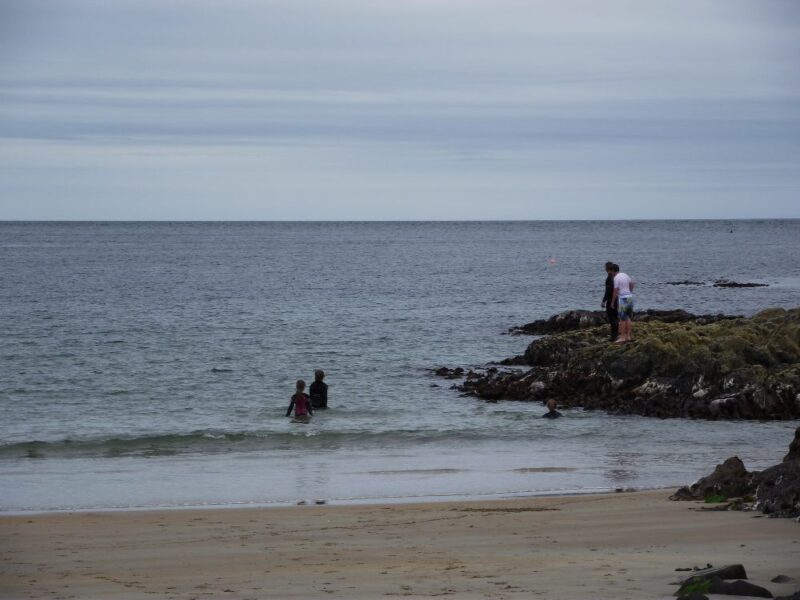
Stroove is another of Donegal’s many fine beaches. This is of the smaller variety and all the better if you like your swimming compact and sheltered. Rocks at either end add to the shelter that is available.
Cliffs at either end also give protection and when we were there the crystal clear water was fresh and calm for swimming . While the wade in was quite gradual, you are out of your depth fairly quickly so be careful.
Stroove has a fairly good sized car park along with a couple of picnic tables and portaloos.
Blue Flag beach . Lifeguards are on duty during the summer months.
Access to the beach is down a couple of sandy but rough paths, which are buggy but not wheelchair accessible.
From Derry you take the A2 to Muff and then pick up the R238 which runs alongside Lough Foyle. As you pass through Greencastle watch out for a right turn onto the R241 which will bring you to Dunagree Head and the beach.