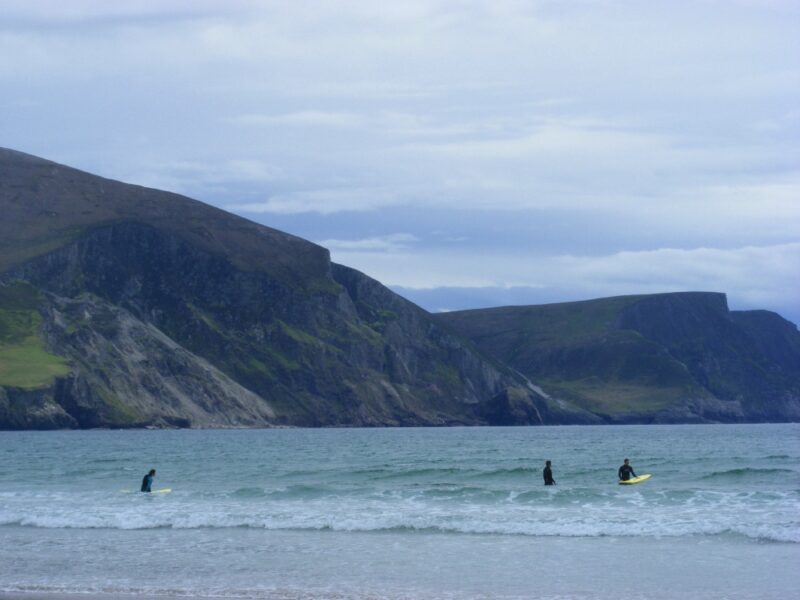
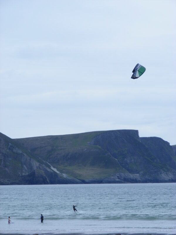
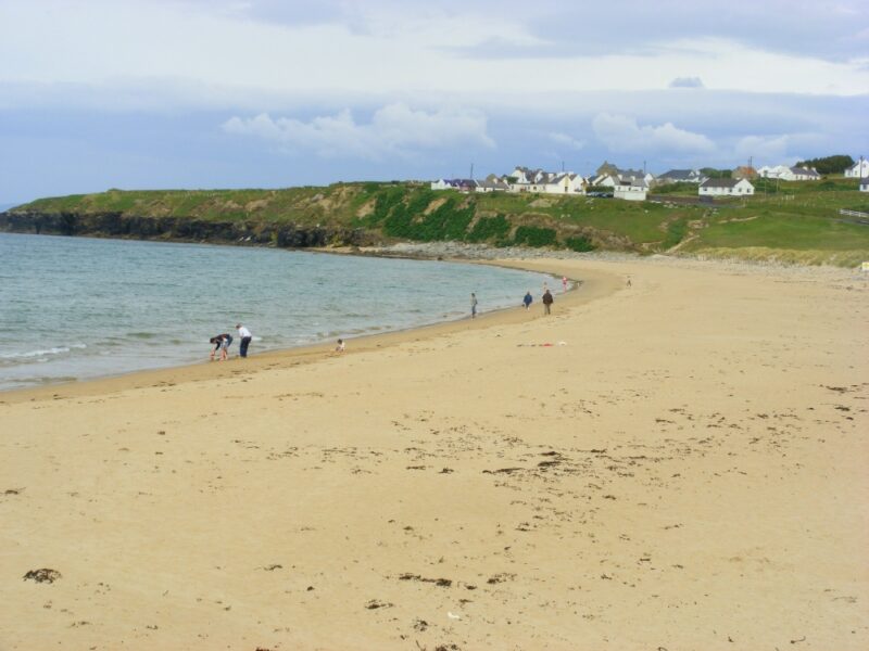
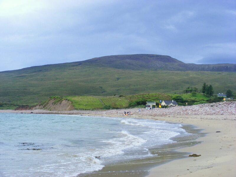
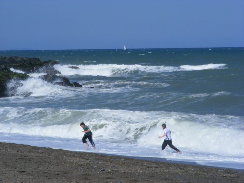
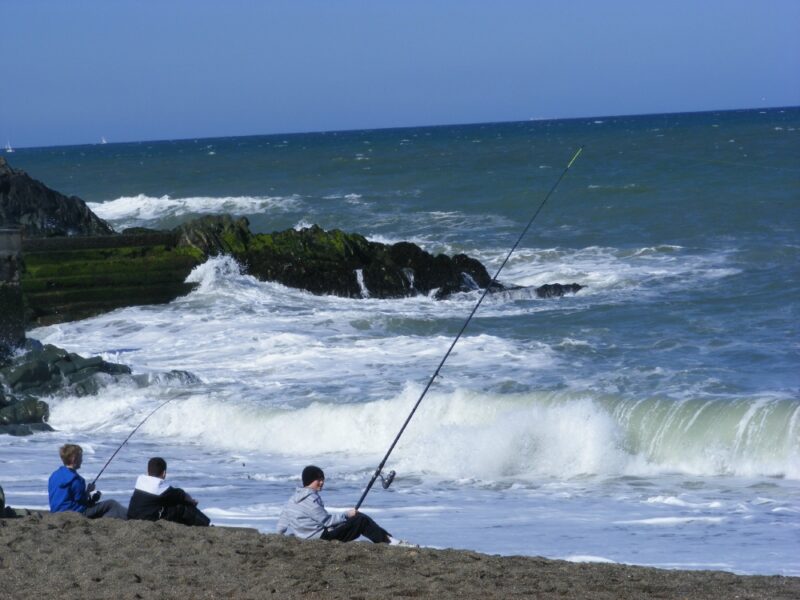
In contrast to nearby Keem beach, Keel is a big , open expanse of beach which is very popular with surfers. This is the place to go if you like your swimming a bit windy and wavy.
The beach itself is long and exposed, good if you are looking for a bracing walk after a swim and not so good if you are trying to keep children warm. So bring your windbreak with you.
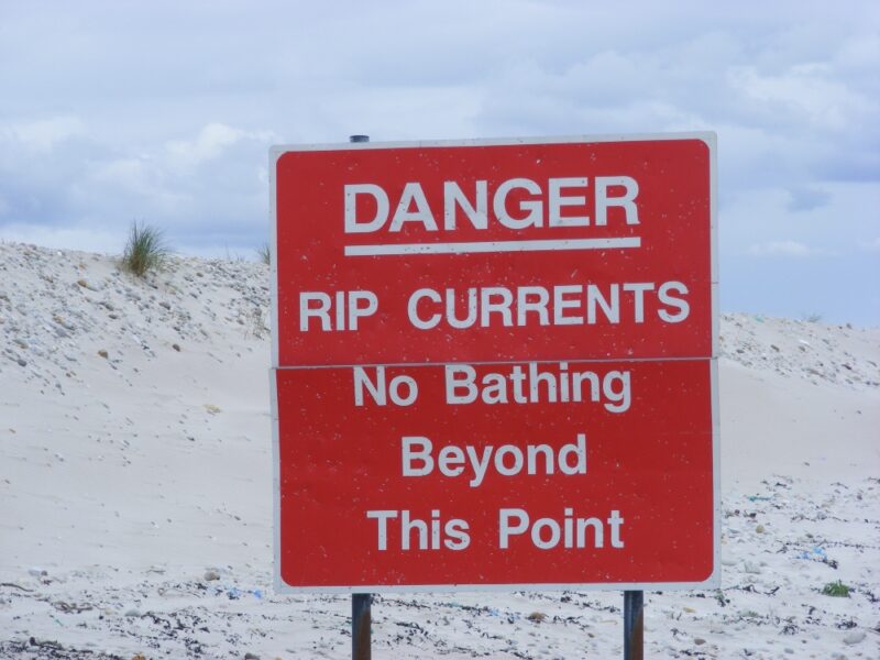
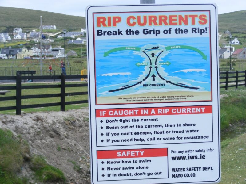
Do watch out for the signs for rip currents and avoid swimming in these areas.
Keel is a popular holiday spot and there is good car parking and a play area just behind the beach.
Lifeguards are on duty during the summer months. Blue Flag beach 2012.
The beach looks as if it is accessible for buggies and wheelchairs
From Mulrany you take the R319 to Achill/ Keel . Just before you arrive in the village of Keel you will see the beach signposted to your left, just after the campsite
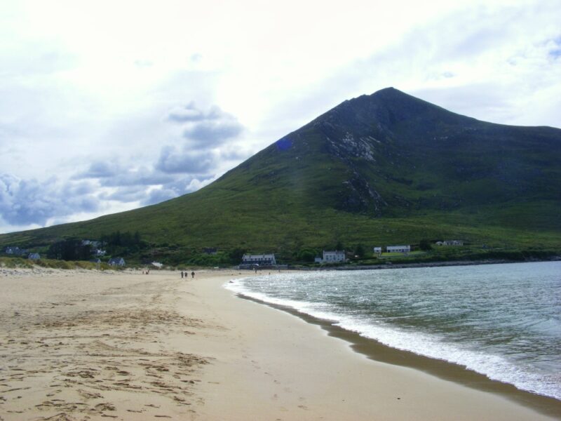
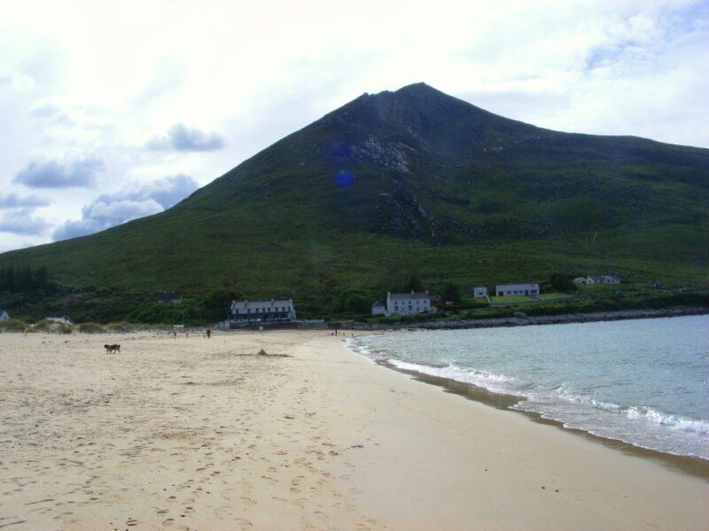
Doogort is an attractive, sandy beach which is well sheltered by impressive Slievemore mountain at one end. The water here is clear and fresh , with a nice sharp feel to it when we there last in June. It isn’t too steep as you get in so it appears to be a good spot for children.
There are grassy areas behind the beach for shelter along with space for parking and a couple of picnic tables.
At one end the beach is buggy accessible and wheelchair accessible with an effort
Check with Mayo County Council regarding lifeguards over the summer. There is a lifeguard hut but no one was on duty when we were there in early June.
Take the R319 from Mulrany. When you cross over the Achill sound bridge watch out for a couple of signposted right turns which will take you to Doogort.
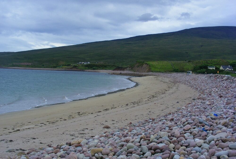
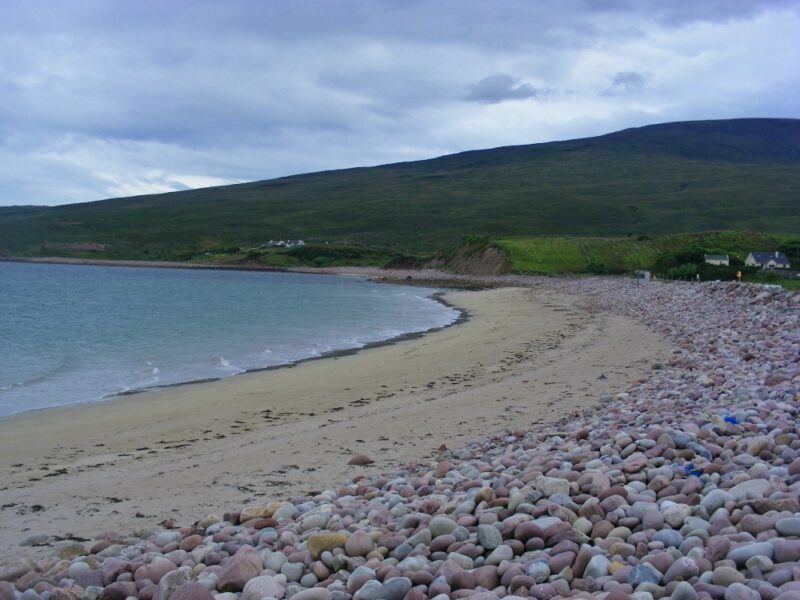
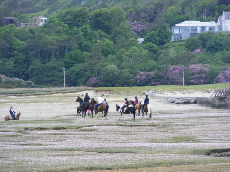
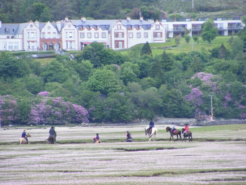
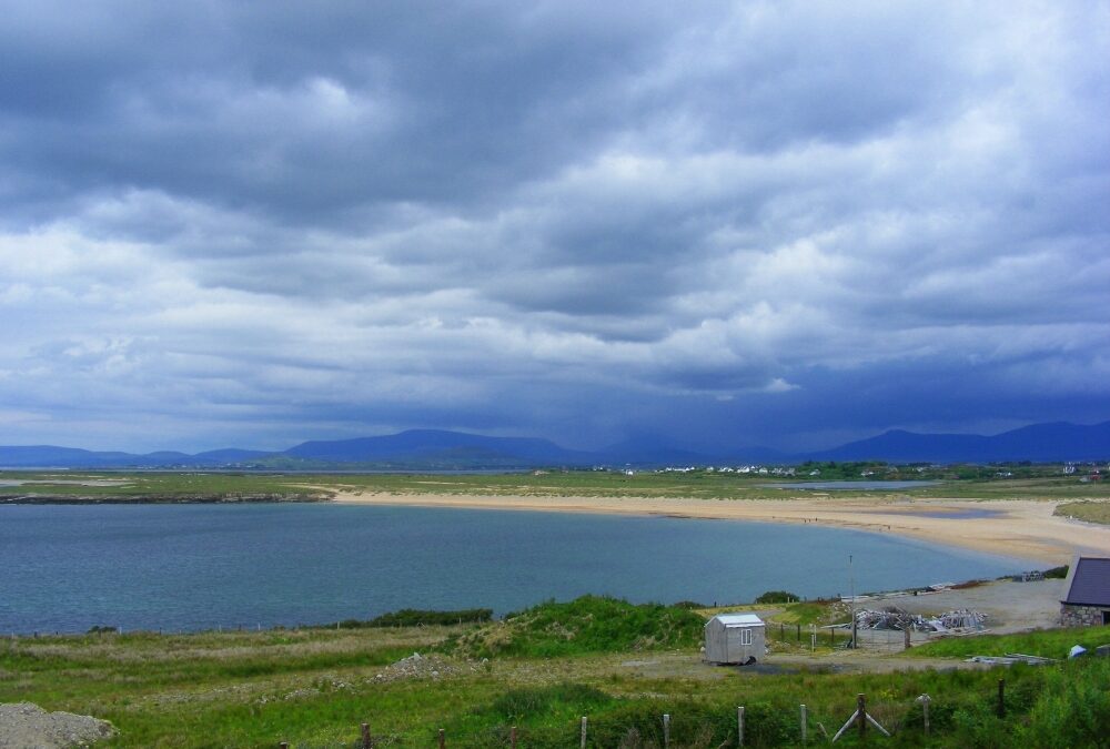
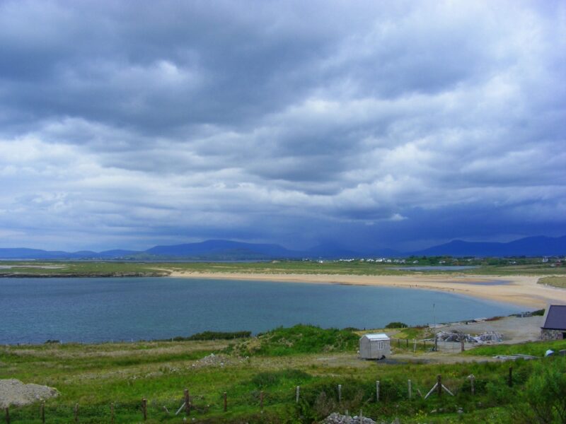
Mulrany would not be in our top five of beaches in Mayo but it is certainly worth a visit and is a handy location for those who don’t want to face into the trip out into ‘darkest’ Achill.
The beach itself is fairly small and disappears altogether when the tide comes in. So check your timing if you are going there with your buckets and spades.
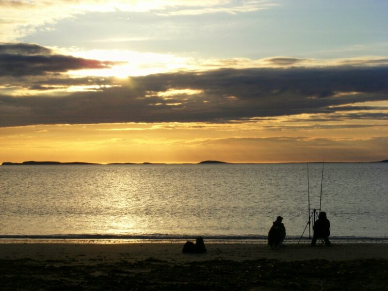
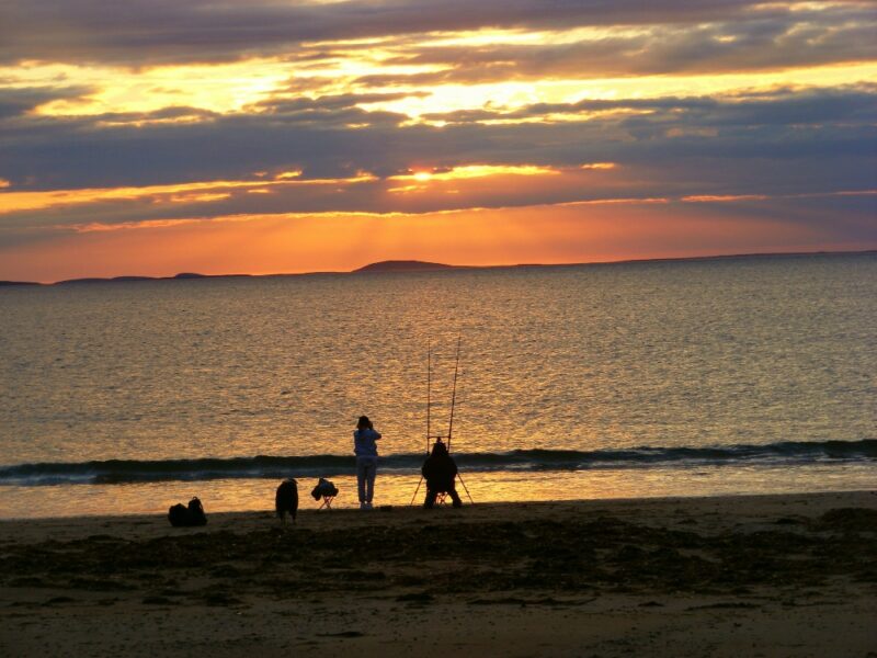
It is backed onto by rocks but it can be exposed and a bit windy. Having said that the water here is clear and you don’t have to wade out too far to be in your depth, and the views across Clew Bay to Croagh Patrick can be very impressive
Lifeguards are on duty in the summer.
Blue Flag beach .
There is a reasonably good amount of car parking and small but clean toilets. There are also a couple of picnic tables near to the beach entrance
From the car park there is a rough ramp type path which leads to the beach, so it appears accessible for buggies and wheelchairs.
From Castlebar you take the R 311 to Newport; from Westport it’s the N 59 to Newport. From Newport it’s the N 59 all the way to Mulrany. You then go through the village and you will see a signposted left turn for the ‘Trá’.
Alternatively in the village itself, opposite the hotel, there is a footpath across the causeway down to the beach. This is a left over from the days when the hotel was at the end of the railway line and was a traditional holiday spot. It’s good to see the hotel open again after being derelict for a number of years .
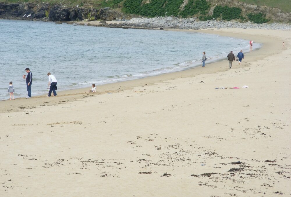
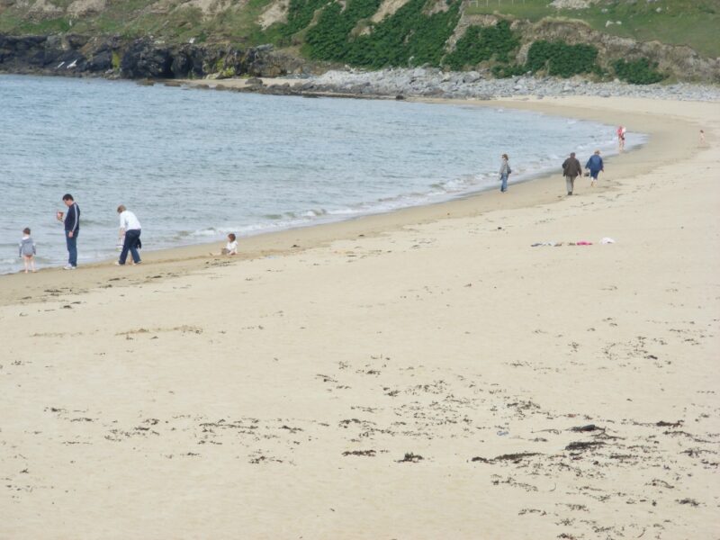
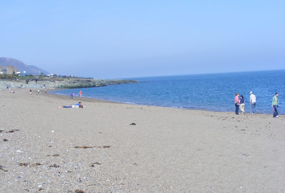
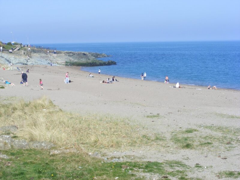
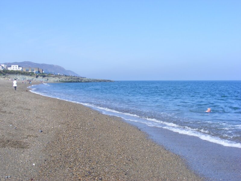
Greystones is located about 20 kilometres from Dublin city and is now very much part of the urban sprawl with new housing estates proliferating. Despite this the town still manages to maintain a nice feel to it with an attractive main street.
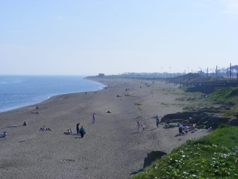
The beach itself is at the back of the town but is cut off and it isn’t overlooked by houses or roads. The water here is clean and has a nice swell at times.
For more serious swimmers this is a good spot as you are quickly into, and out of, your depth when you enter the water. Equally, children need to be watched carefully.
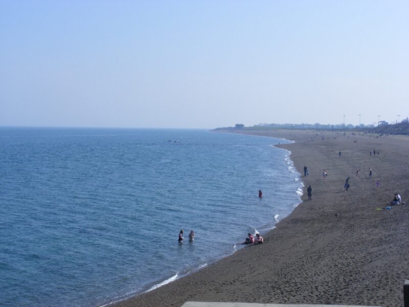
While the beach is a good size its soft loose sand makes it hard to walk on. However, this is a good family spot with lots of room for kids to play.
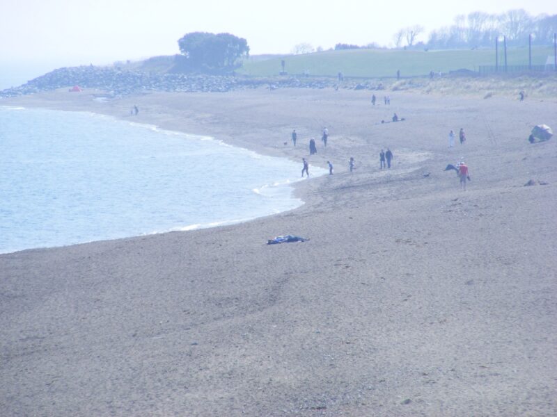
There are modern public toilets (pay as you go), and a nearby children’s playground. A path runs alongside the beach which is accessible. The sand is so soft it’s not suitable for wheelchairs and you will have to lift your buggy.
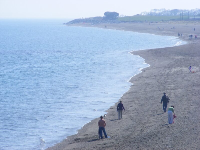
From Dublin city take the N11 and watch out for the signposts to Greystones. If you follow these they should bring you straight into the town. You then drive through the town’ s main street and you will come to a choice of two car parks – the nearer one you have to pay for and the further one is free.
There is a DART station in the town and the beach is just a few minutes walk away. Greystones is also served by Dublin Bus, check www.dublinbus.ie.
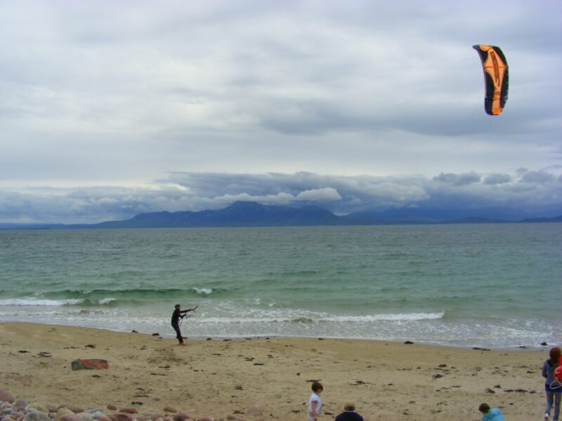
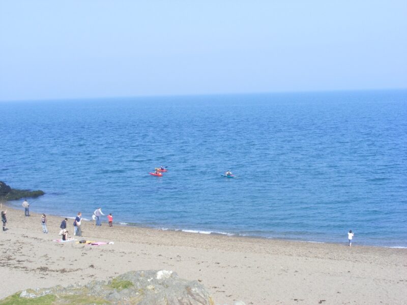
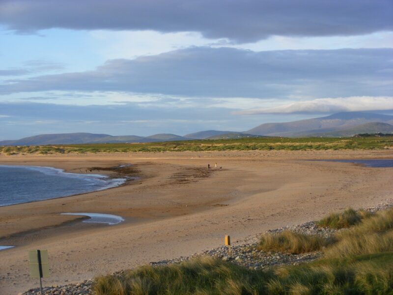
Along with ‘Trà Mòrs and ‘ White Strands’ Ireland has its fair share of Golden Strands and this is Achill’s version . It’s located just a few kilometres from the other Doogort beach and this one is much bigger and more open.
The beach is wide and curved with a large grassy area behind it. The water isn’t too deep as you enter and there is plenty of room here for kids to play. And, almost needless to remark, there was no one else swimming here when we visited on a nice day in June. Wimps or what?
There is decent car parking and the beach is buggy accessible but not for wheelchairs.
If you are into camping there is a simple but good camp site just behind the beach and a local pub nearby.
Check with Kerry County Council regarding lifeguards. As for the other Doogort beach , there was a lifeguard hut but no one on duty in early June.