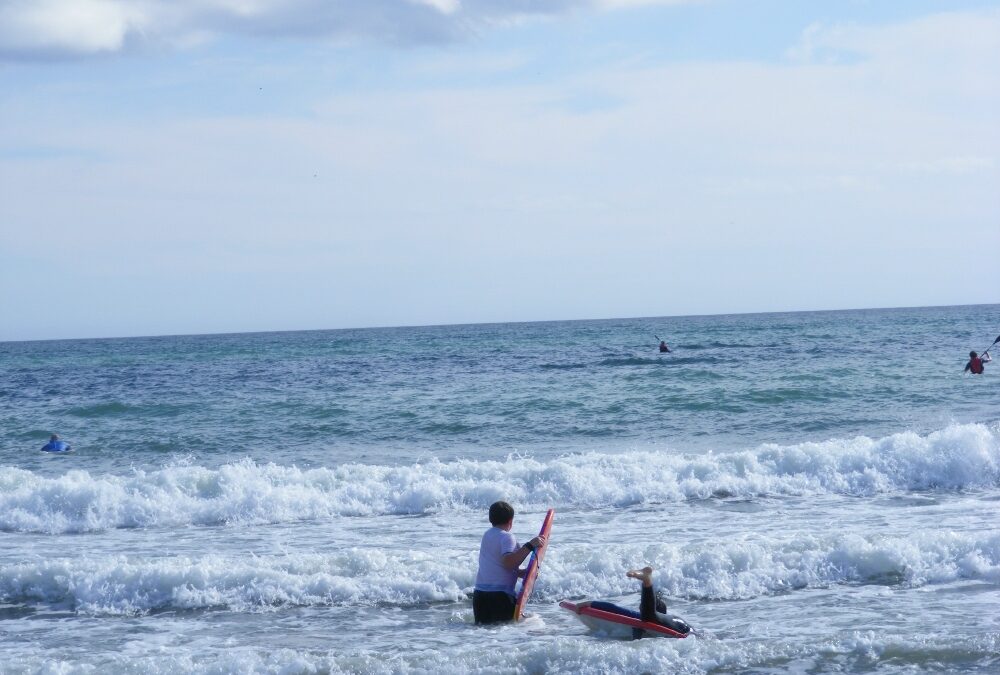
Whiting Bay is quite an open beach, the type of place surfers might go to or people who are looking for a swim in the waves. On the day we were there young and old were out among the waves with their boards.
As it can be quite windy here do bring your windbreak if you are planning to stay for a while. The beach itself is quite long so it’s good for walking as well as swimming.
There is a decent sized car park and a rough path from it to the soft sand – manageable for buggies but very difficult for wheelchairs’
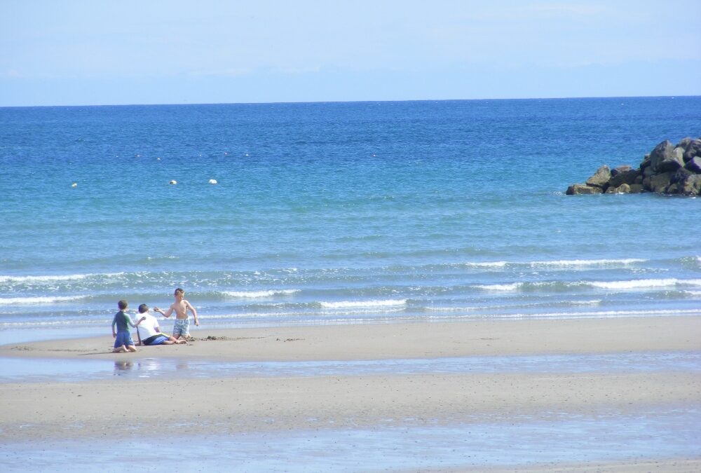
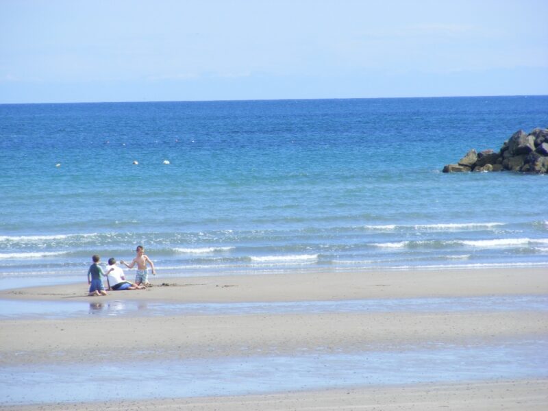
Carne is one of the most impressive of Wexford’s many fine beaches and it’s an ideal spot for families to swim in. There is a harbour at one end and then a long stretch of soft sand going off into the distance when you go in the other direction.
The water here is clear and calm but when the tide is out you will walk for a while to get into your depth. The wade in is gradual so it seems safe for children.
The beach itself is a little bit exposed but there are some small dunes to the back for shelter.
Right behind the good sized car park is a caravan park which has a small shop and café. As you drive in, but before you come to the car park, a right turn will bring you down to the harbour. Here there are basic toilets and a slipway which will give you easier access to the beach than from the main car park.
From Wexford town you take the R730 and then the N25 toward Rosslare. At Tagoat there is a right turn for Lady’s Island and when you follow this road, at Lady’s Island you will pick up the signposts for Carne beach.
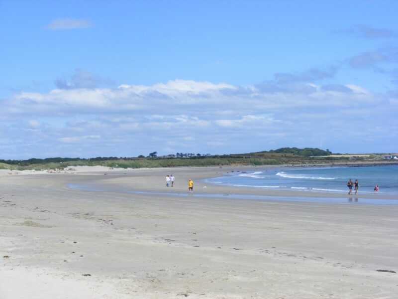
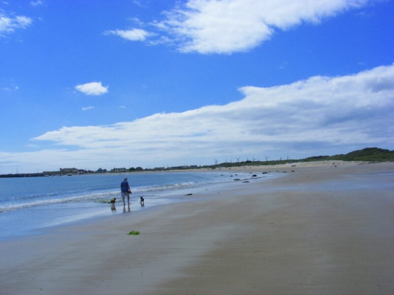
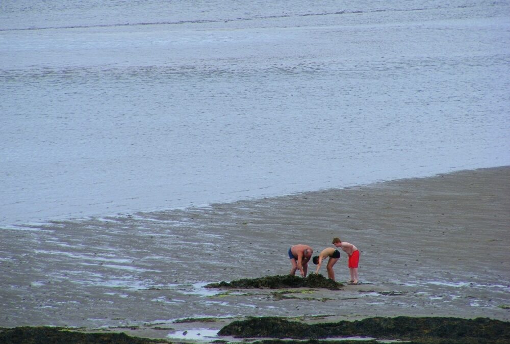
Grange Strand is another of Wexford’s many fine stretches of beach, andis good both for swimming and walking. However the tide really does go way out here, so if you want a quick dip, then watch the tide times.
There are plenty of rock pools here for the kids to explore, but it does get windy so bring a windbreak if you are planning to stay for a while.
Access to the beach is via a rough track which isn’t wheelchair accessible. You will also be lifting your buggy.
There is no proper car park but there are a few places you can pull in beside the road
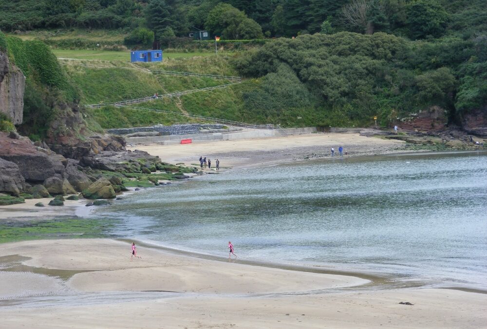
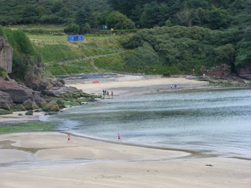
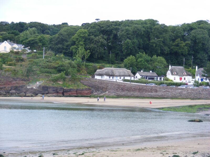
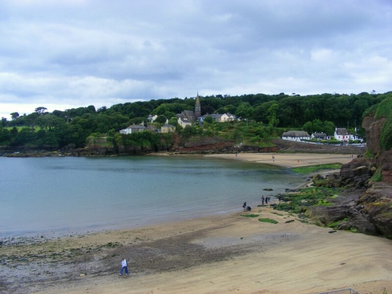
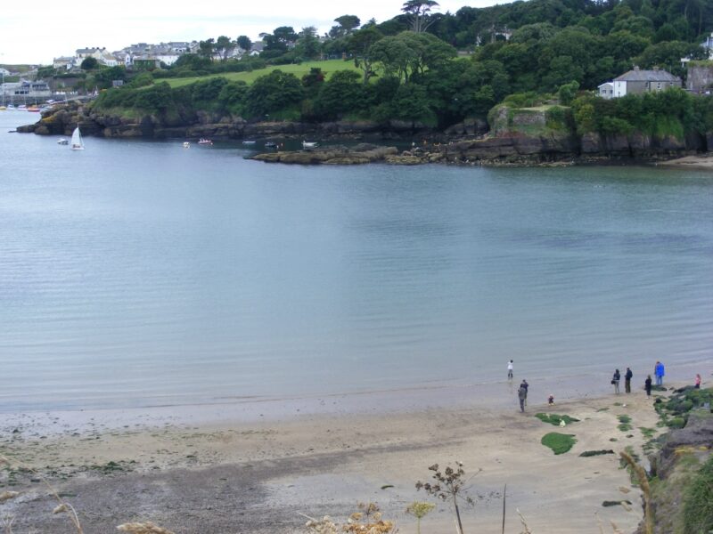
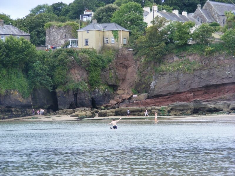
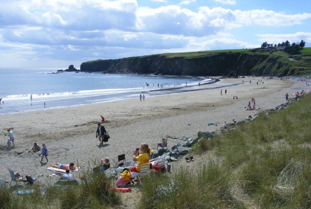
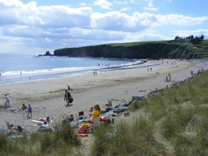
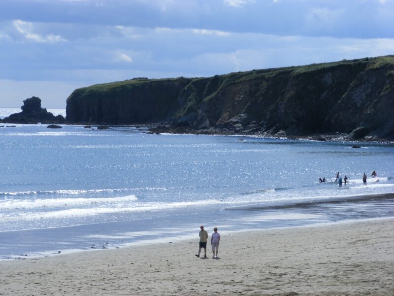
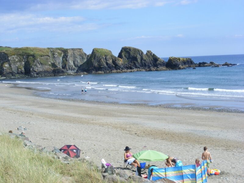
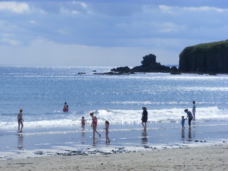
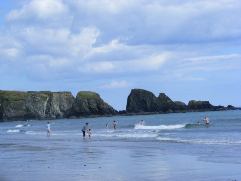
The beach at Dunmore East is small, curved and well sheltered. It is divided by rocks into two, with a smaller section to the left. From the road there is a steep slipway descent to the main section, which is certainly not for wheelchairs. The tide comes right in here so do keep an eye on the times if you are looking for a beach to play on. When the tide is low there are rock pools for children to explore.
The water here is clear and fresh and lovely to swim in. Lifeguards are on duty during the summer months.
Although it wasn’t signposted, there is a good sized car park to the left of the village (follow the signpost for the golf club) and this has a flat, zig zag pathway to the smaller section of the beach which is accessible.
Lifeguards are on duty during the summer months.Blue Flag beach
There are public toilets nearby and an added feature is the attractive bar, with outdoor seating , which overlooks the beach.
Directions
From Tramore you take the R 675 for Waterford and just outside the town you take the R684/ R685 signposted for Dunmore. Stay on this road and just before you get to Dunmore there is a left turn signposted for the beach.
Bunmahon is yet one more example of Waterford’s many fine family beaches. It has everything you might look for in a place to come swimming with your children – a good stretch of soft sand, lifeguards in the summer months and a good sized car park which also has a children’s play area beside it.
There is gradual access to the water in Bunmahon so it’s good for the children to play in. While the beach itself is soft it is a bit exposed, so bring a windbreak if you are planning to linger.
Access from the main car park is up and over a rough path and it isn’t wheelchair accessible. Nearer the town there is a much smaller car park and that has a slipway which will give you buggy access and possibly access for wheelchairs as well.
Please note that there are dangerous rip currents at Bunmahon, so be careful especially out of season when there are no lifeguards on duty