Three connected beaches and swimming spots run alongside the road into Buncrana and beside the town itself.
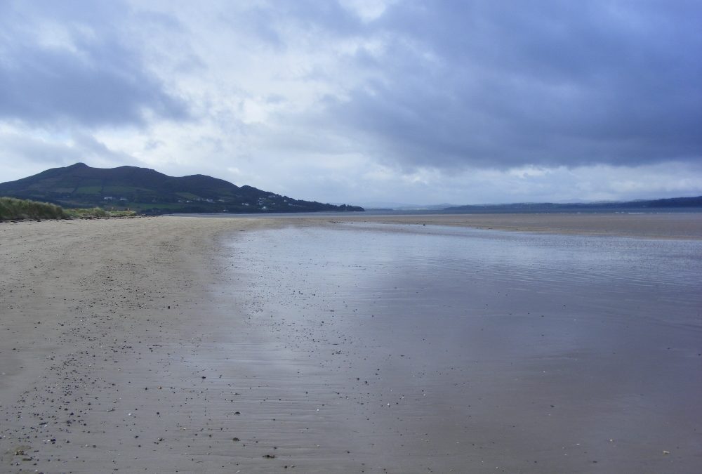
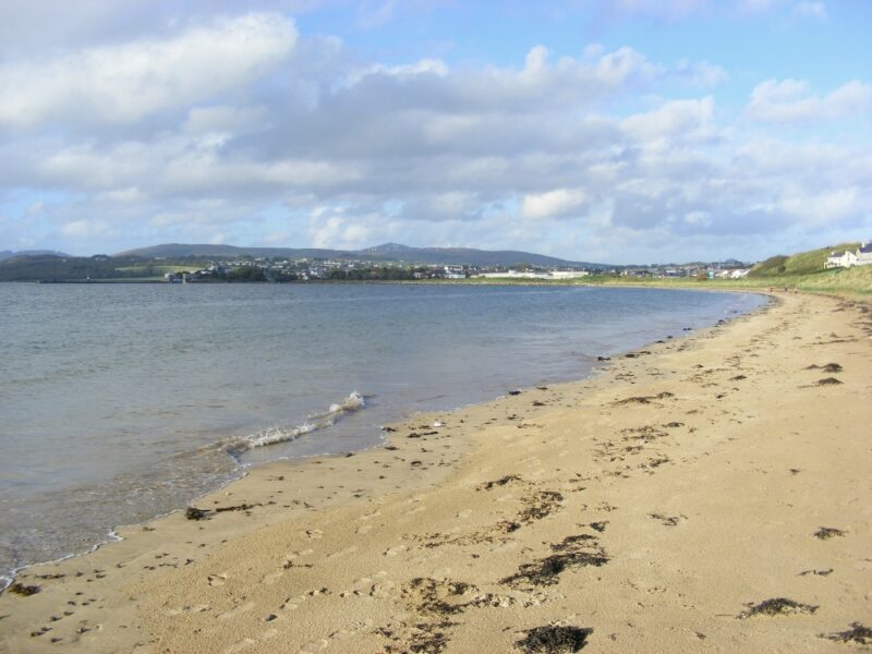
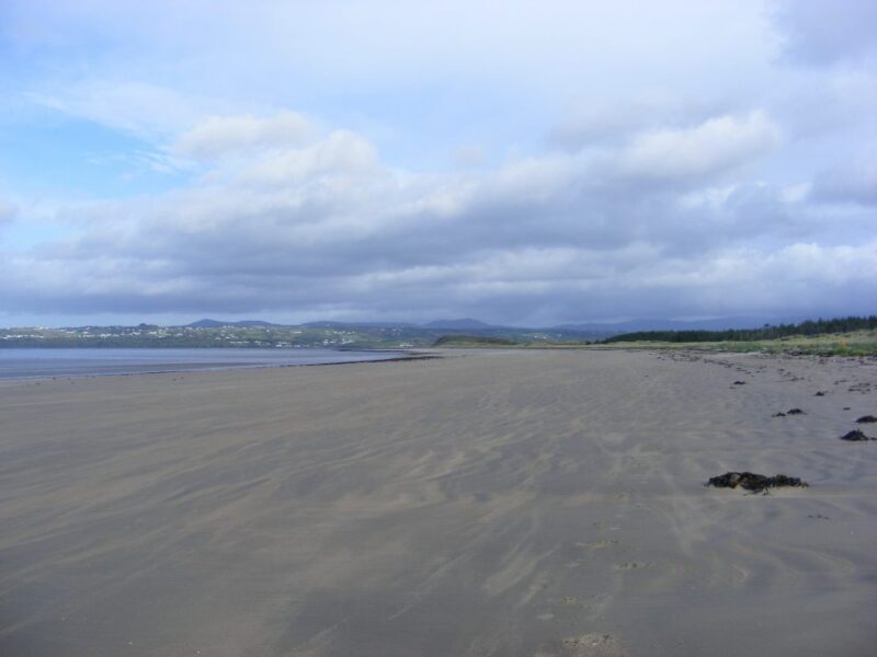
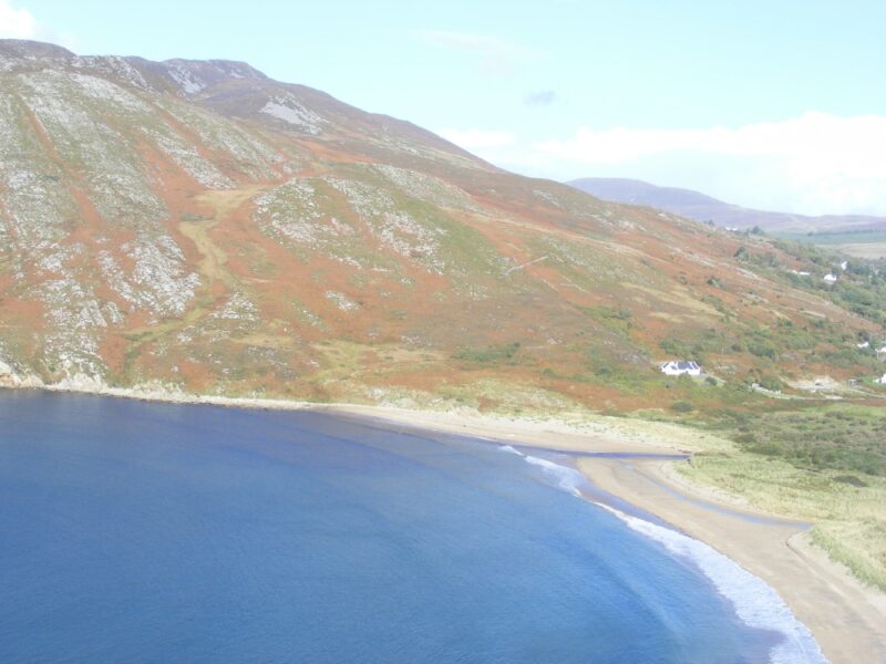
The first is Lisfannon Beach which is located a few kilometres before the town. This is a wide open expanse of sand, quite open and exposed. The big thing to watch for here is the tides, because when the tide is out you will need a taxi to get to the sea.
Apart from that this is a nice location, with plenty of room for walking and playing after your swim. You will also get some shelter from the wind in the dunes at the back of the beach.
Lisfannan has a large tarmacadam car park. Near the entrance there are a couple of narrow access points onto the beach, but they look too narrow for wheelchairs.
Check with Donegal County Council about lifeguards.
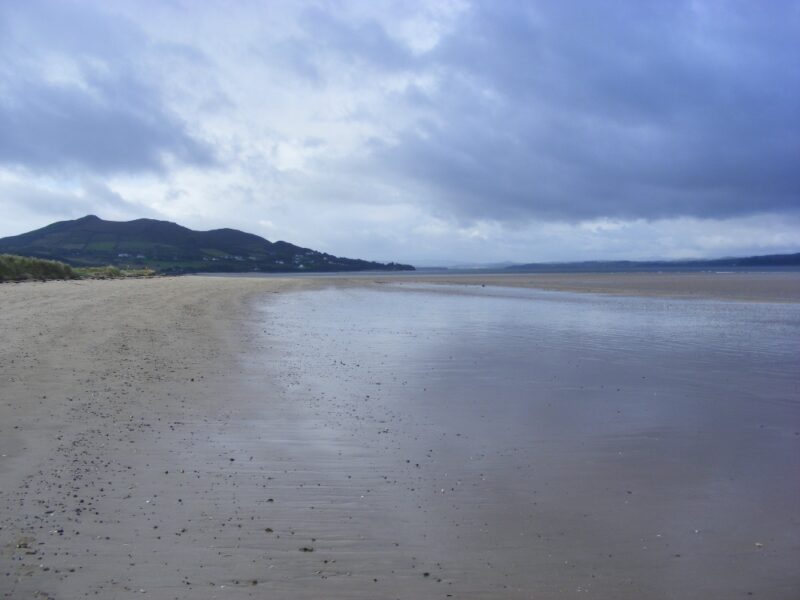
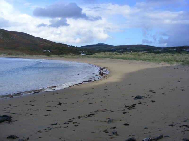
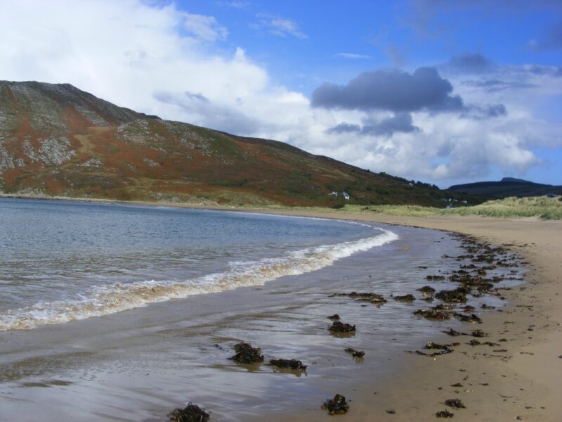
Not far past Lisfannan is The White Strand, another long stretch of beach, this one crescent shaped. We were on it at full tide and the beach gets almost fully covered, so there is no problem with a long wade in for your swim if you time it right. The water here is soft and fresh and you get into your depth gradually.
There is a reasonable sized car park which has a ramped access to the beach. It looks fine for buggies, but wheelchair users would need to be careful. This beach has the road into the town running alongside it, so that can be a distraction.
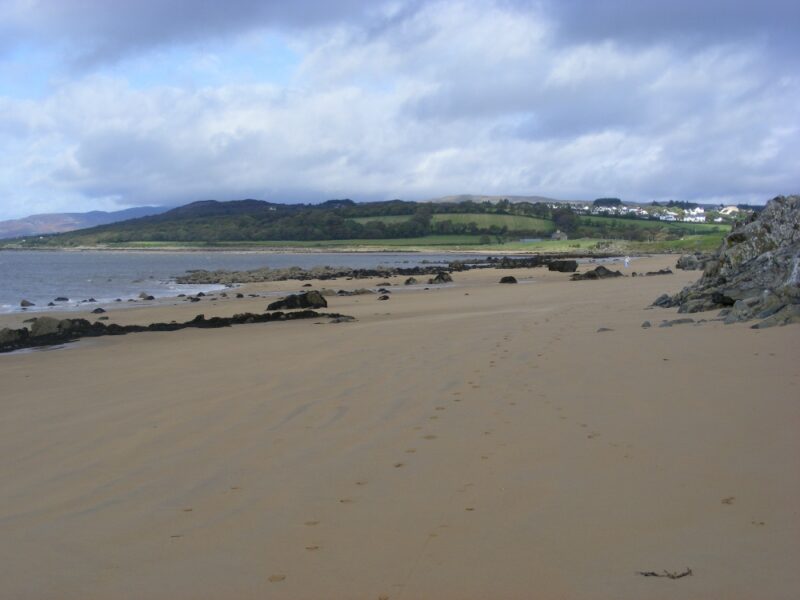
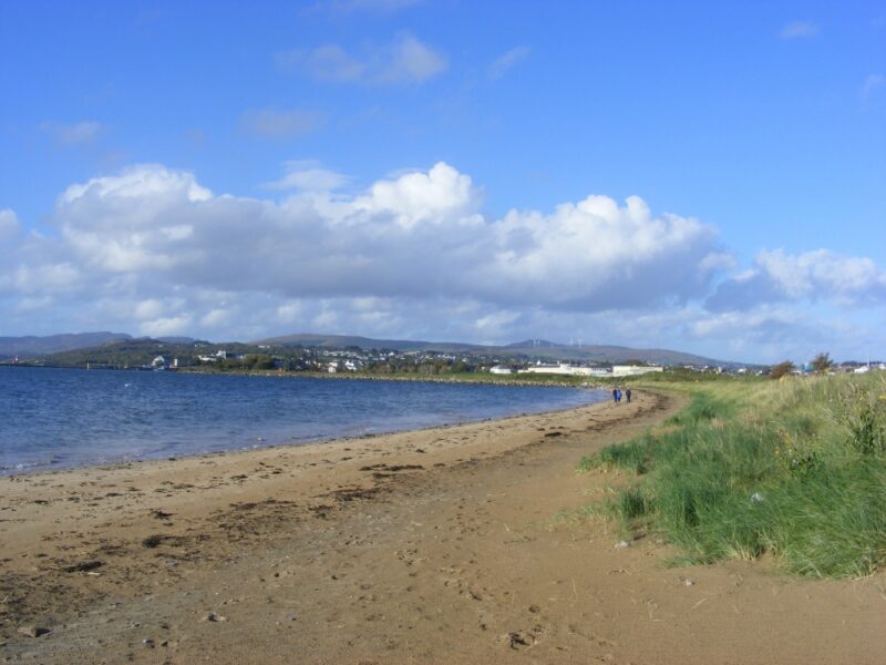
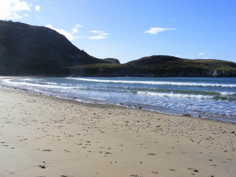
Then there is what we call, for want of a better name, The Town Beach, located just beyond the Lough Swilly ferry terminal. This is a nice beach, smaller than the other two but more sheltered. The water here is of the brown, sandy variety, but good to swim in. Even when the tide is low, as it was for us, you don’t have to go out too far to get into your depth.
The Town Beach has a tarmacadam path with a slipway access onto the beach. It appears suitable for wheelchairs and buggies. There is a good sized car park and a couple of seats overlooking the beach.
Coming from Derry or Letterkenny , follow the signposts for Buncrana and pick up the R238. Lisfannan and The White Strand are signposted with left turns as you approach the town. The Town Beach is best located by following signs for the ferry. When you drive past the ferry entrance you will come to a large tarmacadam car park on your left hand side. The beach is just at the car park.
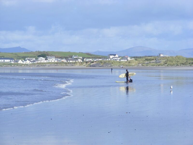
Rossnowlagh is a popular holiday location, but its attractiveness has been spoilt by too many holiday homes and caravan parks. Some of these overlook the beach, but if you can ignore them then you will find this to be a lovely swimming spot.
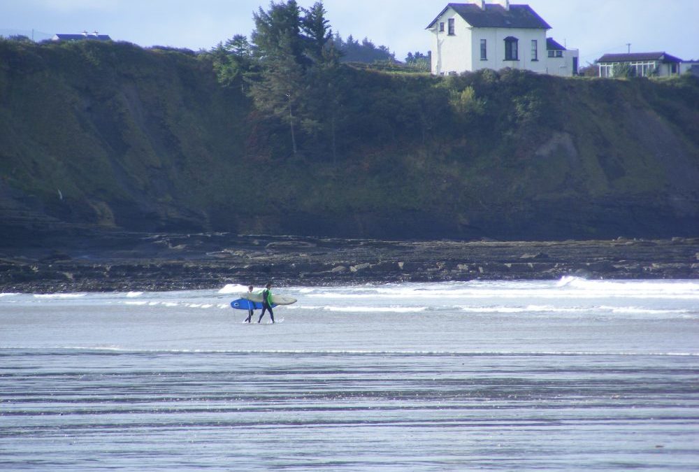
Rossnowlagh is well known as a surfing location, so expect waves when you visit. Having said that if you are careful you can manage a swim, even if you don’t fancy riding the waves.
The beach is wide and impressive. It is a bit open, but there are some rocks for shelter. At one end children, and parents, will find rock pools to explore.
There is a large car park with a long timber ramp giving access to the beach. This is suitable for buggies, but doesn’t look ok for wheelchairs. However, there are a couple of slipways which look as if they give better access to wheelchair users. We were disappointed to see that people can drive their cars onto the beach, but hopefully this doesn’t happen in the summer.
Lifeguards are on duty during the summer months and there are also some picnic tables near the car park.
Rossnowlagh is located off the N15 between Donegal town and Ballyshannon. From Donegal town watch out for a right turn onto the R231 which will take you to Rossnowlagh
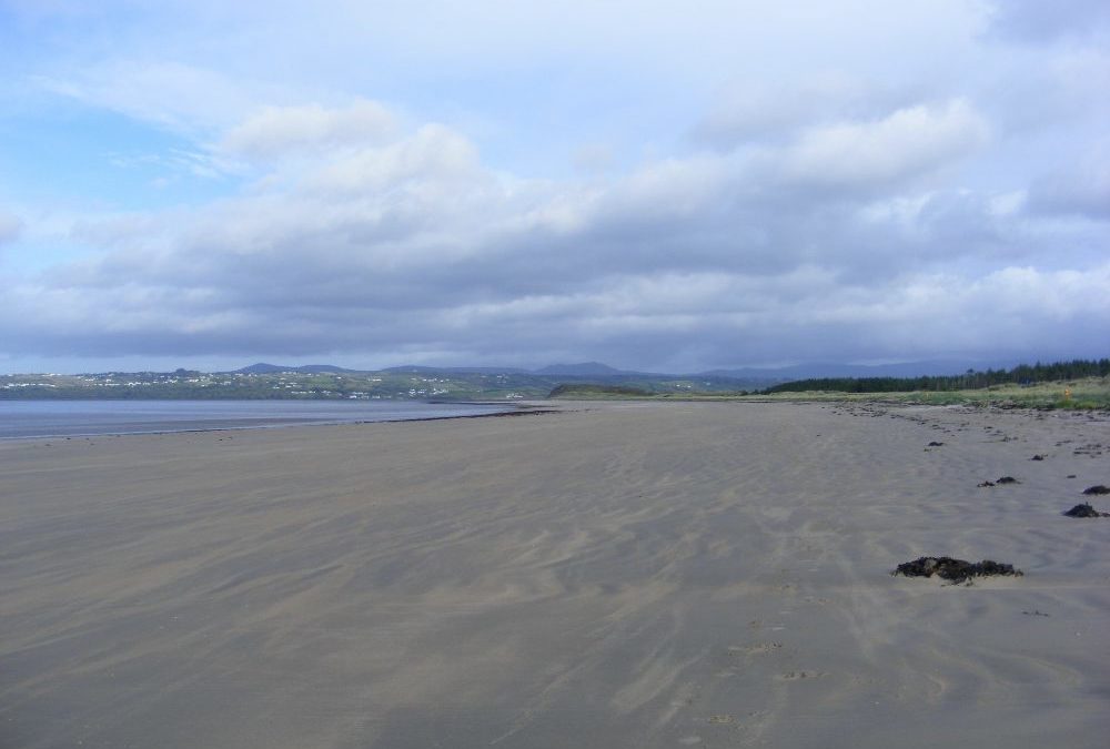
Murvagh is a blue flag beach located a few kilometres outside of Donegal town. This is another of the county’s wide and long stretches of sand. Again you really have to watch the tides here. When we arrived the tide must have been at least a kilometre out, so it can be a long trek to the water.
The beach is also quite exposed. You will find shelter in the dunes, but you might bring your windbreak if you are planning to stay. After your swim there is plenty of room for a long walk and any amount of room for children to play.
Murvagh has a decent car park and access to the beach is via a sandy path which isn’t wheelchair accessible. You will manage a buggy with an effort. Lifeguards are on duty during the summer months.
From Donegal town take the N15 toward Sligo. A few kilometres outside the town watch out for a right turn signposted for the beach. Follow the not very good signposting and it will lead you to the car park
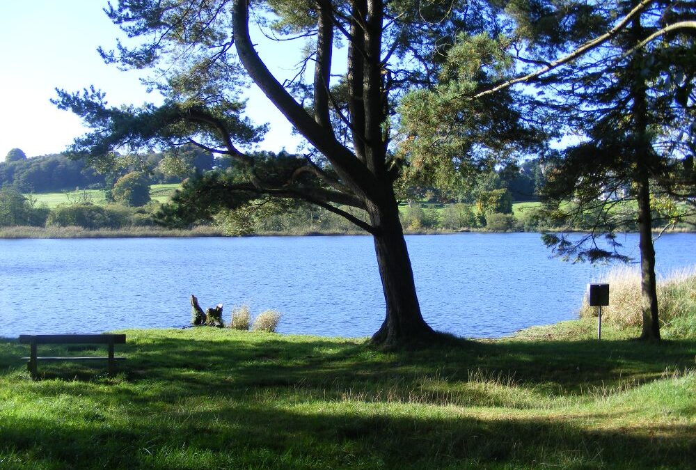
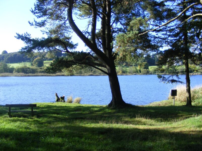
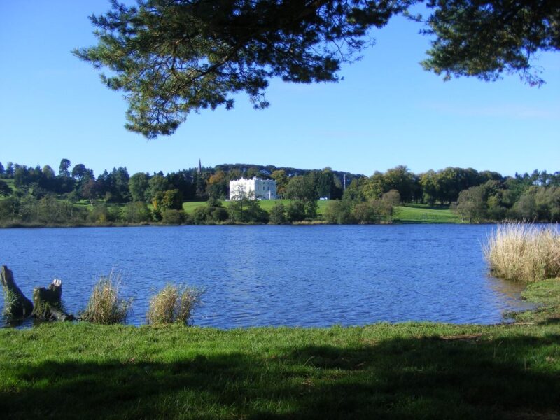
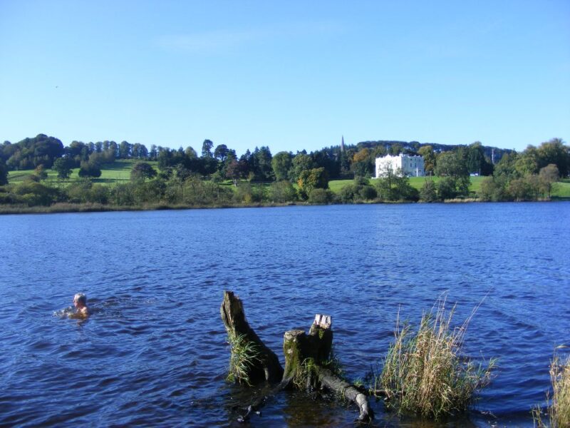
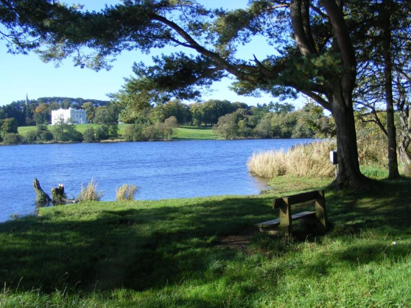
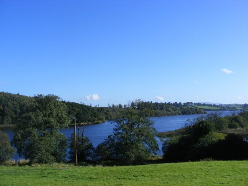
There are plenty of lakes in Monaghan and this is one of the nicest ones we know, both for swimming and walking. Muckno is an attractive estate, incorporating a golf course, bar/restaurant and the impressive lake.
As you go through the entrance gates a sharp left turn and a bumpy road will bring you to the area called Black Island. There is parking here and then you cross a bridge and take a right turn into the forest. A short walk will bring you to an open grassy area, where there are wooden benches and access to the water.
Going in is a little bit stony, but the water is fresh and the views down the lake impressive. Like all lakes you should swim carefully and along the shore.
After your swim, there are attractive walks through the forest or you can repair to the bar in Hope Castle.
Castleblayney is located on the N2 between Dublin and Monaghan town. Coming from Dublin when you arrive into ‘Blayney you take a right turn at the T junction in the town which will bring you to the gateway entrance to Muckno. When you go through the gates take a left turn down a bumpy road and park at the bridge. When you cross the bridge follow the forest path to the right which will bring you shortly to the swimming spot.
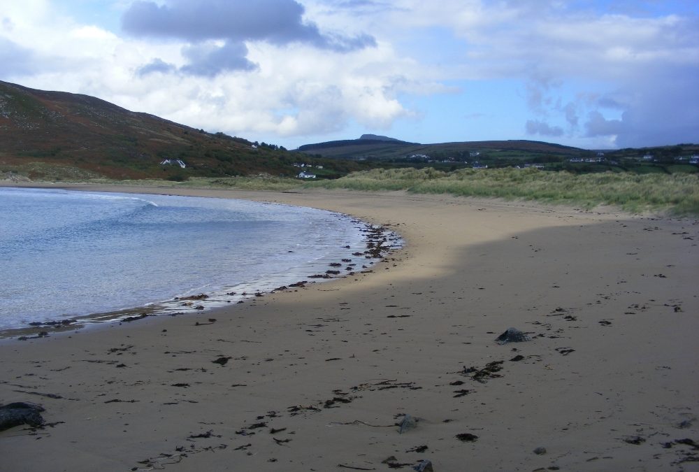
Port Bán is a lovely beach, in a quiet location. It can be a bit hard to find, but it’s well worth the effort.
The beach here is sheltered at either end, so it won’t get too windy. The water is nice and clear and you can get into your depth gradually. Sections of the beach are a bit stony as you get into the water, so you might want to move around to get the right access point.
Access to the beach is via a grassy track which is definitely not wheelchair accessible. You will also be carrying your baby and buggy for a fair distance.
From Buncrana you go through the town on the R238. Then as you leave the town watch for a left turn signposted for Dunree Fort museum. Follow these signposts for about 10 kilometres. Just before the last turn left to the fort, you turn right and you will see a small area to park at the road side.
Before or after your swim the Fort is well worth a visit and the views from it are spectacular.