by Brian Kenny | Aug 8, 2012 | Galway
August 2012
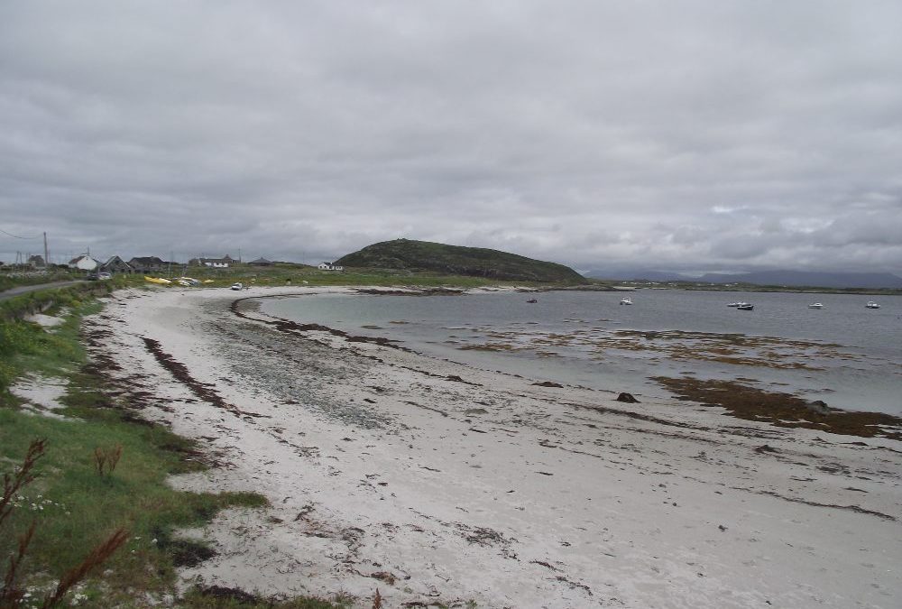
Swimming and smoked salmon -if you like some freshly smoked fish after your dip then you should head for Bunowen Bay.
This is a small but attractive curved beach nestling in the bay and with the nearby pier giving added shelter. The water, as in most of Connemara, is clear and beautifully fresh. It’s nice and sandy underfoot as you wade in. However, you are out of your depth fairly quickly, so be careful.
There are just a few places to park near the beach but it is accessible. If you have to you can drive up to the harbor and find parking there.
And after you finish your swim you can wander up to the nearby smokehouse and buy some well earned smoked fish for your lunch.
Directions:
From Clifden take the R341 to Ballyconnelly. At the village take the right fork signposted for Connemara golf club and the smokehouse. Keep on this road until you arrive at the beach. The smokehouse is up beside the harbour at the end of the road.
View Larger Map
Ordnance Survey Map No.44


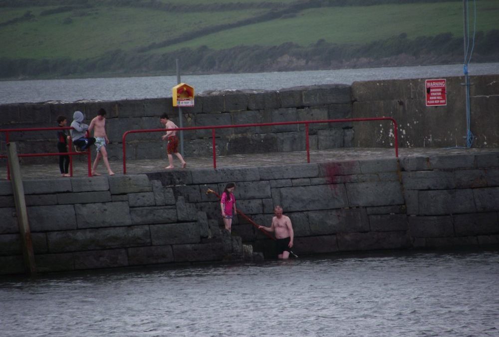
by Brian Kenny | Jul 7, 2012 | Kerry
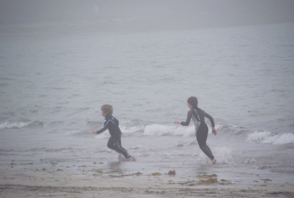
Ventry Harbour
July 2012
We swam in Ventry two days in a row. The first was misty and dull; the second sunny and bright. Such are the joys of swimming in Ireland. But on both days the water was clear, sandy underfoot and good to swim in, and there was very little difference in the temperature between the dull and the sunny day.
The beach at Ventry is a bit exposed so you might need a windbreak if you plan to stay for a while. But the harbour does give protection and it was good for a decent swim the days we were there.
Ventry is a Blue Flag beach with lifeguards during the summer months . The car park is small with basic toilets. Access to the beach is via a short ramp/slipway which looks both buggie and wheelchair accessible.
Directions:
From Dingle take the R559 signposted for Slea head. After about 10 kilometres you come to Ventry (Ceann Trá) and just past the village you will see a signpost on your left for the beach.
View Larger Map
Ordnance Survey Map No. 70


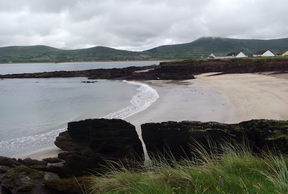
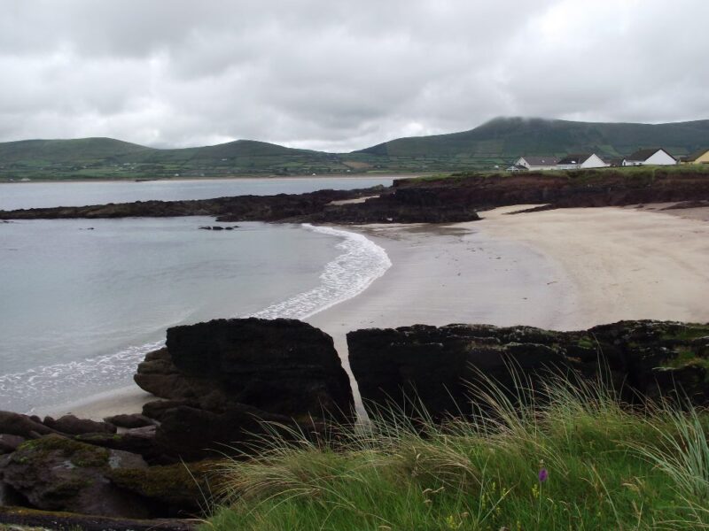
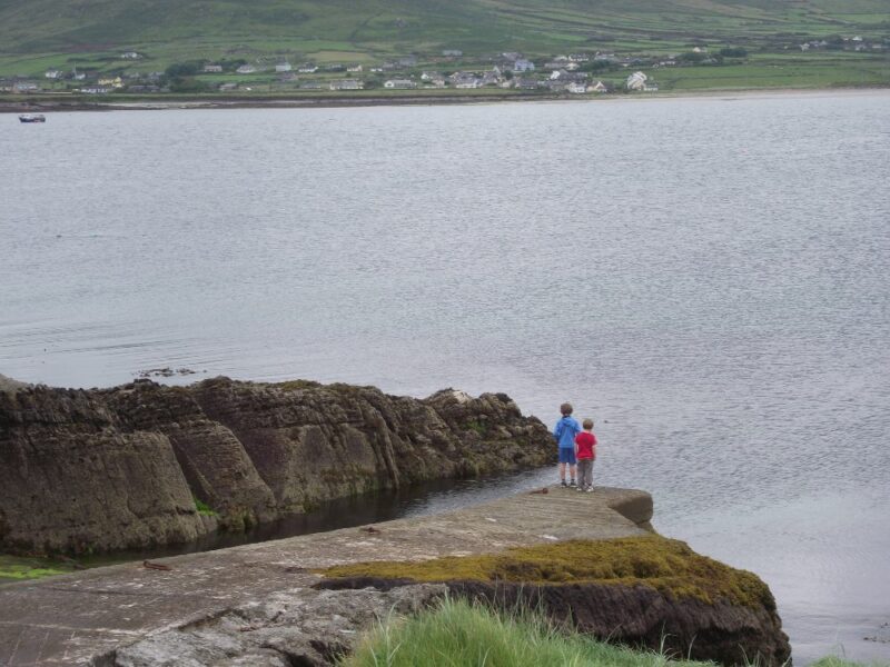
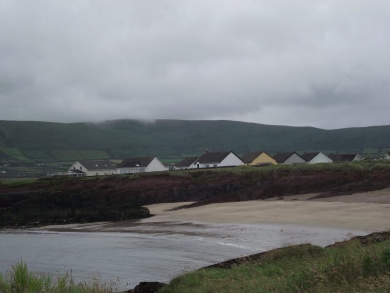
by Brian Kenny | Jul 7, 2012 | Kerry
July 2012
Wine strand is a lovely, small beach, sheltered within Smerwick harbour. The water here is crystal clear and cool. There is a gradual wade in and when we were there the water was perfectly calm. Apart from being a good place for a swim this seems like a good place for snorkelling.
The beach is small and has shelter from the rocks. It’s an ideal spot for families, but it must be busy when the weather is good.
Car parking is very limited along the road side. Access to the beach is down a short path which seems ok for buggies.
Directions:
From Dingle take the R559 in the direction of Slea Head. After you pass through Ballyferriter watch out for a left turn signposted for the beach.
View Larger Map
Ordnance Survey Map No. 70
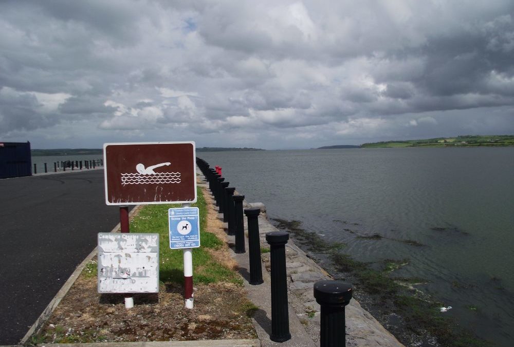
by Brian Kenny | Jul 7, 2012 | Limerick
July 2012
We don’t know our swimming in Limerick very well, so we were glad to take in a visit to Glin on the way back from Kerry.
This is an attractive spot sheltered in the harbour. The swimming area is well developed with a few small slipway style paths leading you into the water. The water doesn’t look the cleanest but the tides must keep it fresh. It is clearly a well used resource with some regulars there when we passed through. It will be important to time your visit as swimming won’t be easy when the tide is low.
Lifeguards are on duty during the summer and nearby there is a nice area with some picnic tables. There is also plenty of room for cars, alongside the pier and in the car park further back.
Directions: From Limerick take the N69 toward Tarbert. As you approach Glin watch for a right turn into a parking area and beyond this is the harbor. We didn’t see a signpost


by Brian Kenny | Jul 7, 2012 | Limerick
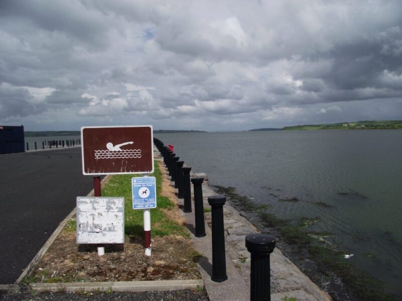
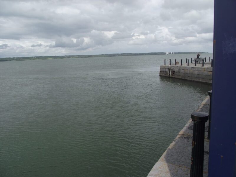
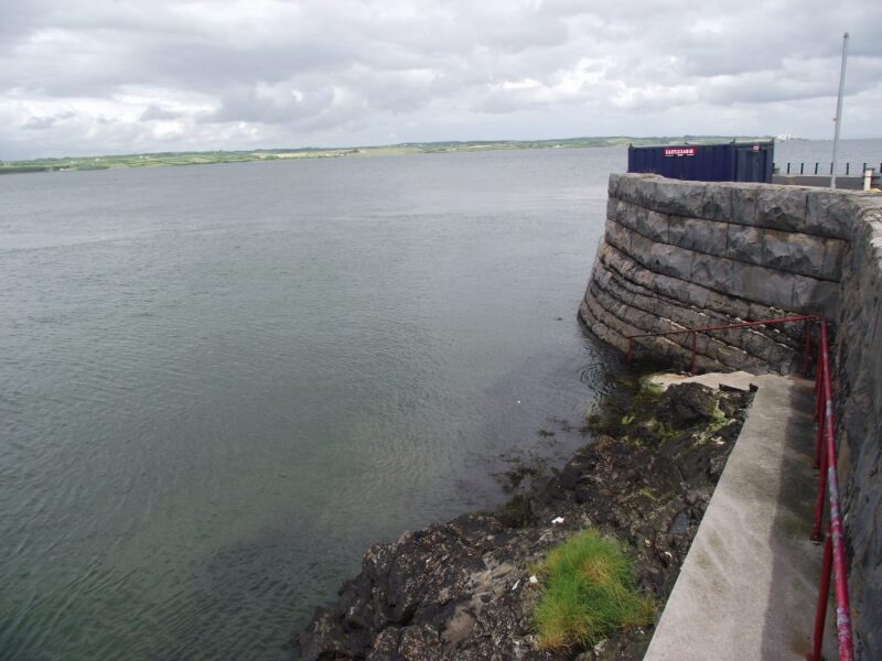
Kilteery Pier
July 2012
If you want to swim in Kilteery then time your visit. We got there when the tide was on its way out and the seaweed exposed area didn’t leave it looking its best.
Still, this is an attractive spot and must look completely different when there is a full tide. We got in down the steps behind the pier and, despite the low tide, we were out of our depth very quickly. The water was brown and sandy. We stuck close to shore as we didn’t know the local conditions.
So , be careful here.
Lifeguards are on duty during the summer months. The area around the harbor is well maintained, with decent parking and a couple of picnic tables and some seats overlooking the water.
Directions:
From Limerick take the R69 toward Tarbert. After the village of Loghill watch for a right turn signposted for the pier.
Photos will be added at a later date