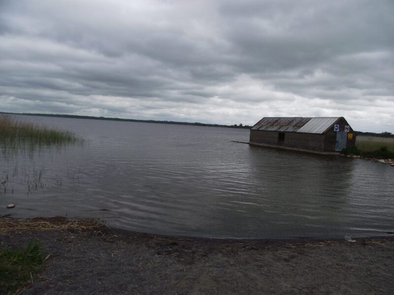
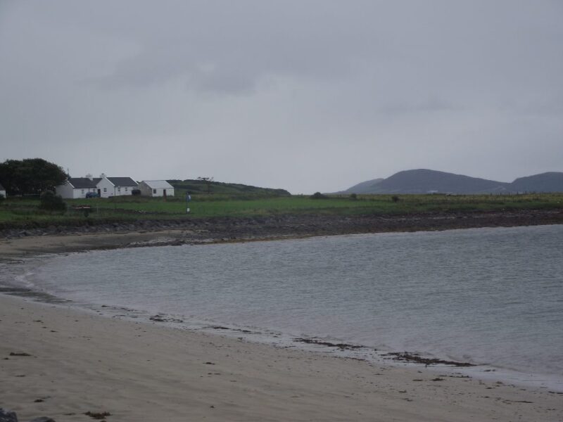
Lanesborough is on the border between Longford and Roscommon and we think we swam on the Longford side. Neither county is renowned for swimming spots so we were glad to add this as a Longford location.
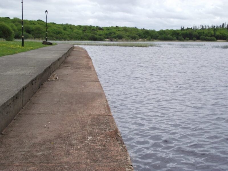
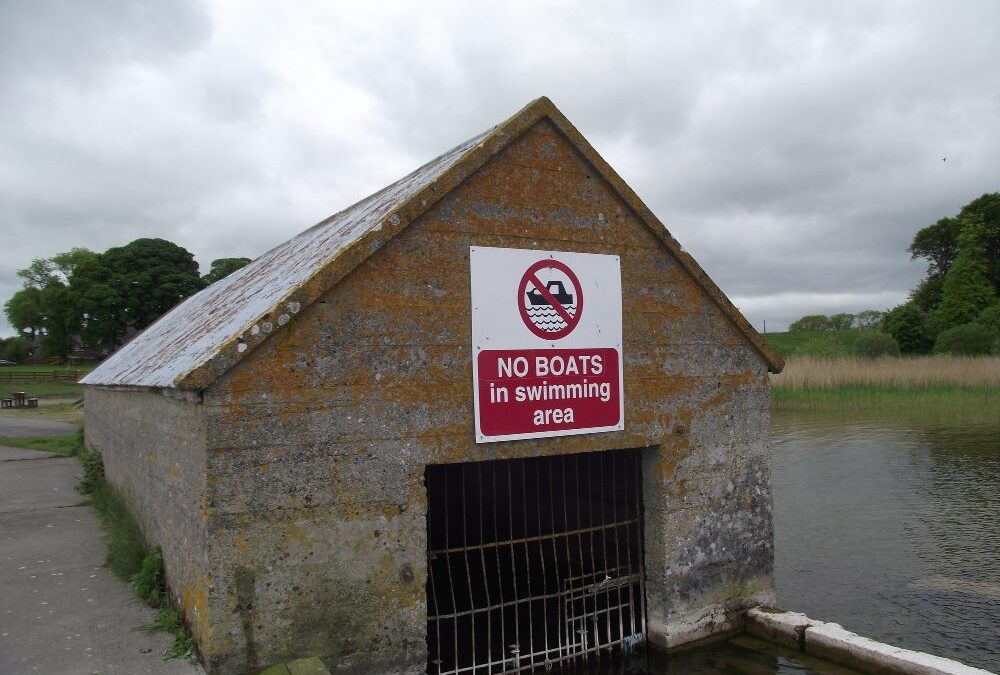
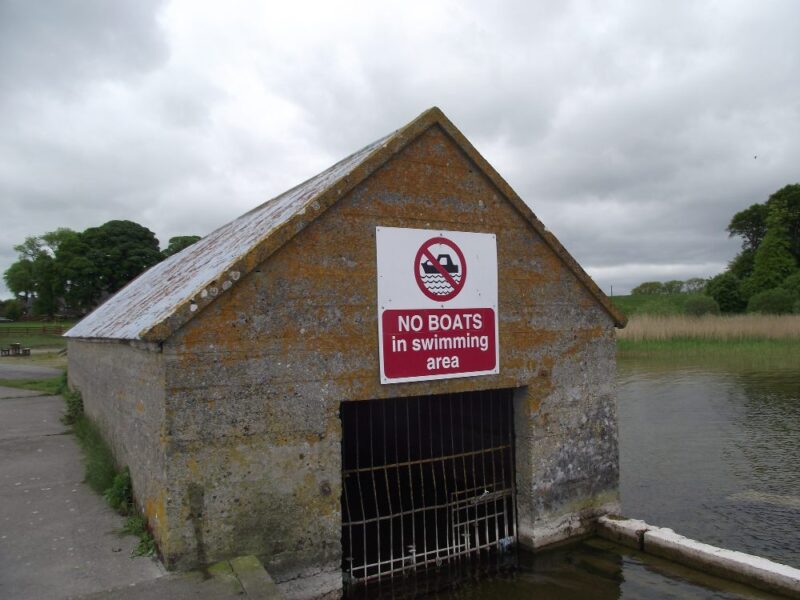
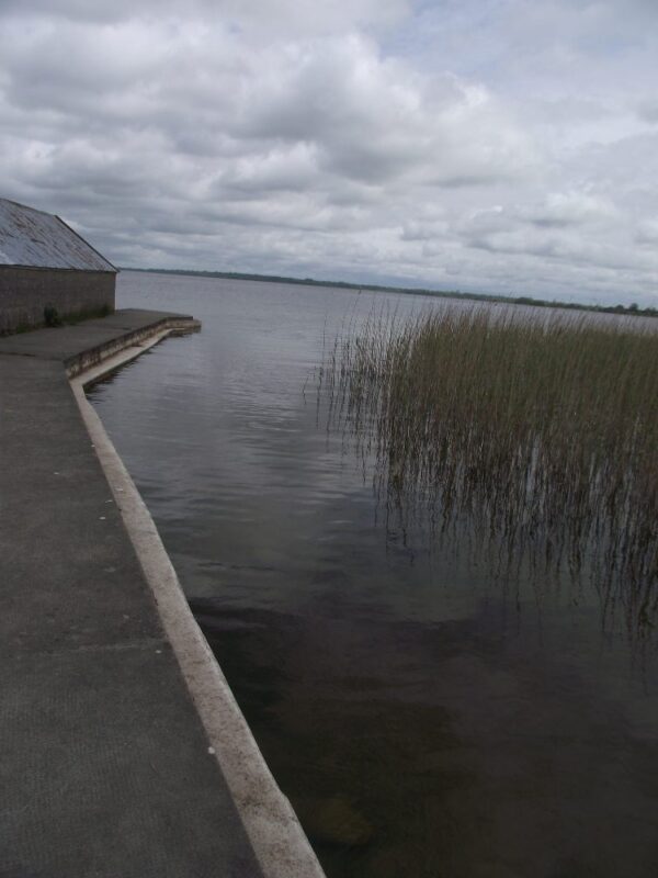
We found a nice place to get in on the east side of the town’s bridge, just before you cross the county boundary. Access to the water was from a concrete path which runs alongside the lake. It was a bit difficult so pick your spot carefully. The water was dark with good depth and lovely for swimming. As always with lakes be careful as you can’t see what is underneath the surface. No jumping or diving.
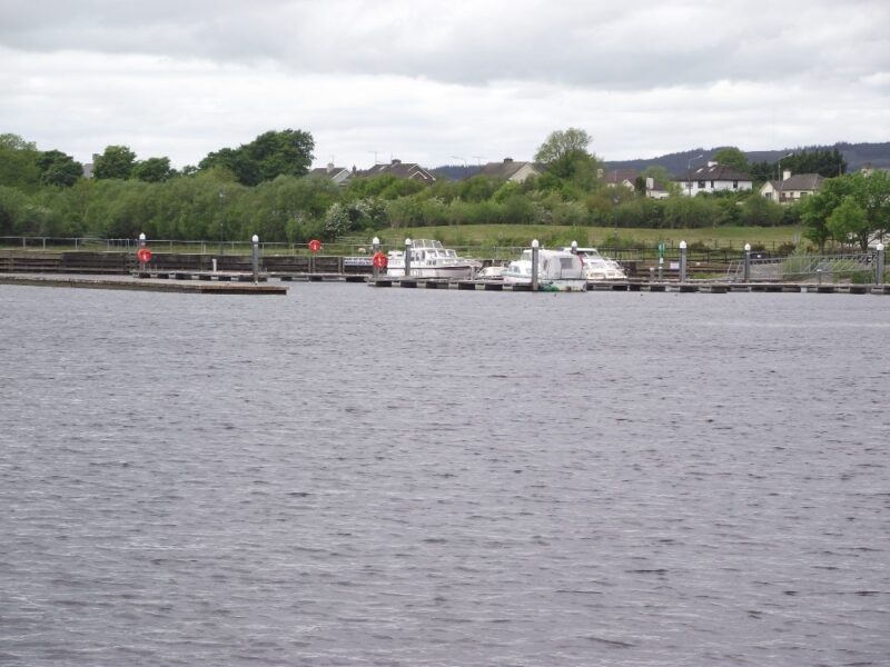
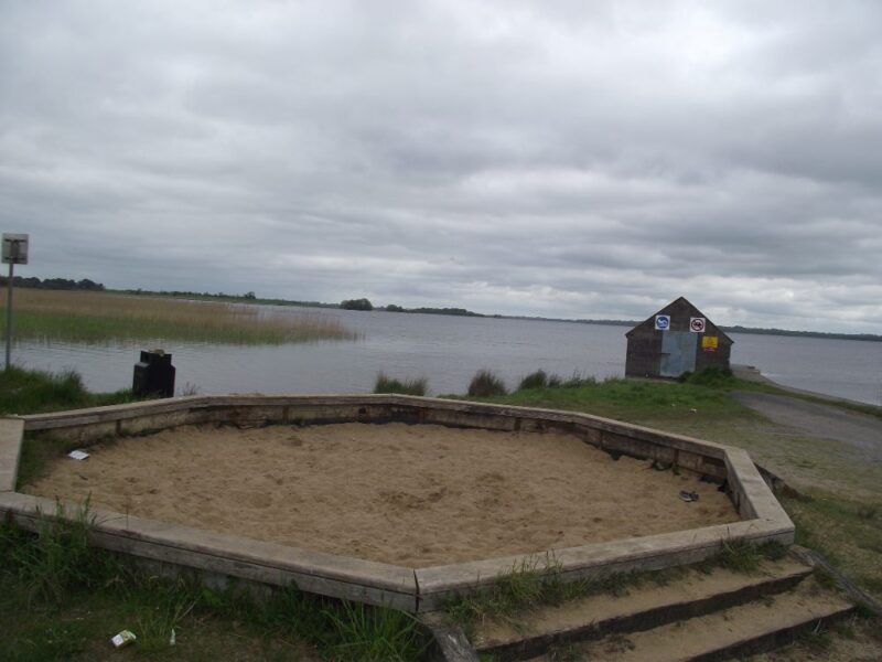
Alternatively, you could get in at the little harbour nearby which has a slipway. We didn’t try it and the water might be less clean with the various boats coming and going. See update below.
Near to the lake there is plenty of green space for picnics and forest walks start just beyond the car park. All in all this is an attractive place for a swim. There are no problems with access.
Directions:
From Longford town take the N63 to Lanesborough. As you drive down the main street watch for a left turn for a car park just before you come to the bridge. Drive along this road past the playground and you will come to an open parking area with the harbour and lake nearby.
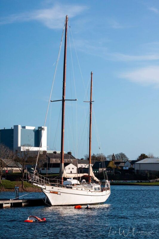
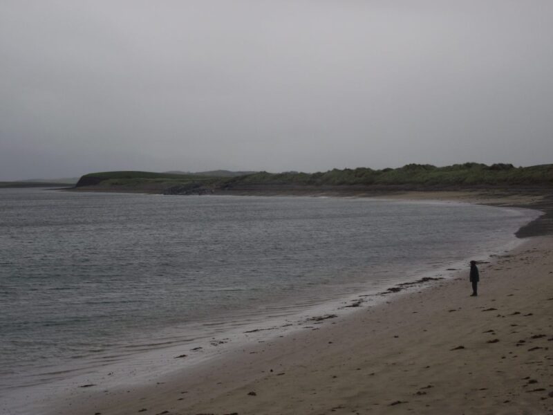
Photo Lanesborough by Brian Kenny
Photo Lanesborough by Brian Kenny
Photo Lanesborough by Brian Kenny
Photo Lanesborough by Brian Kenny
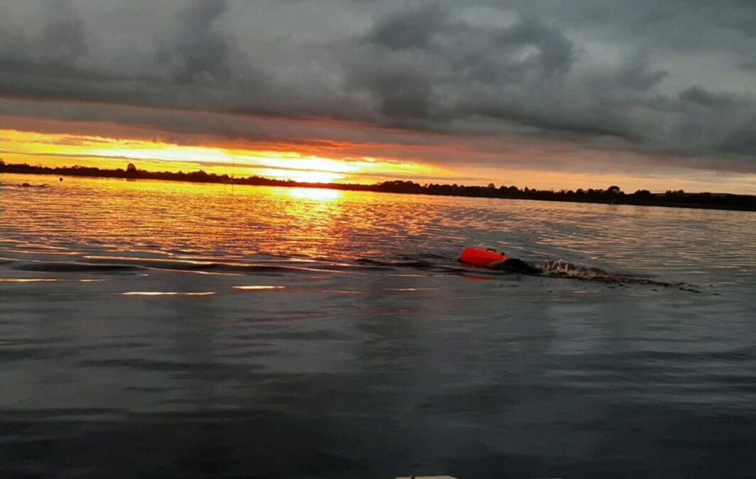
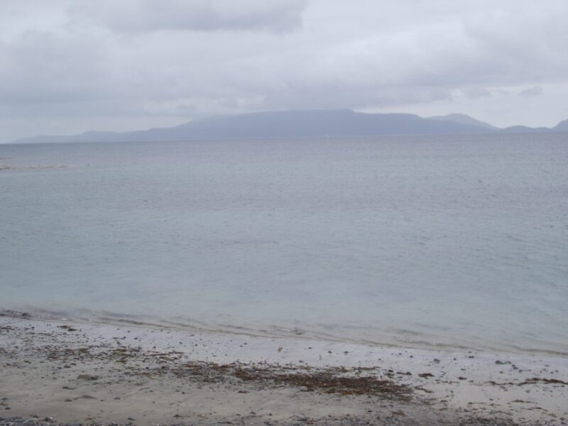
Photo of Lough Ree, Lanesboro by Bernadette Smith
You're a star!
Thanks to:
Bernadette Smith for a beautiful photo and sharing her love of Longford.
Niall Mulvivhill for local information, groups and updated location.
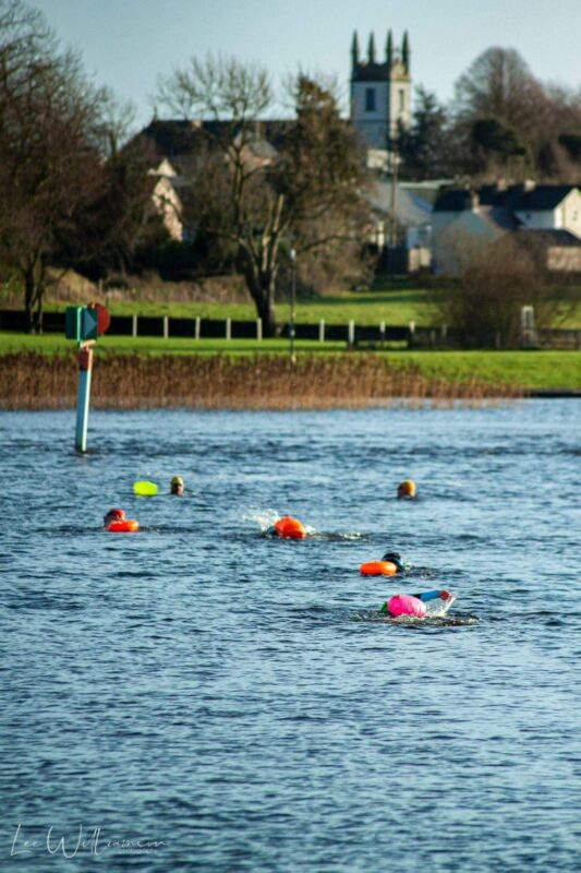
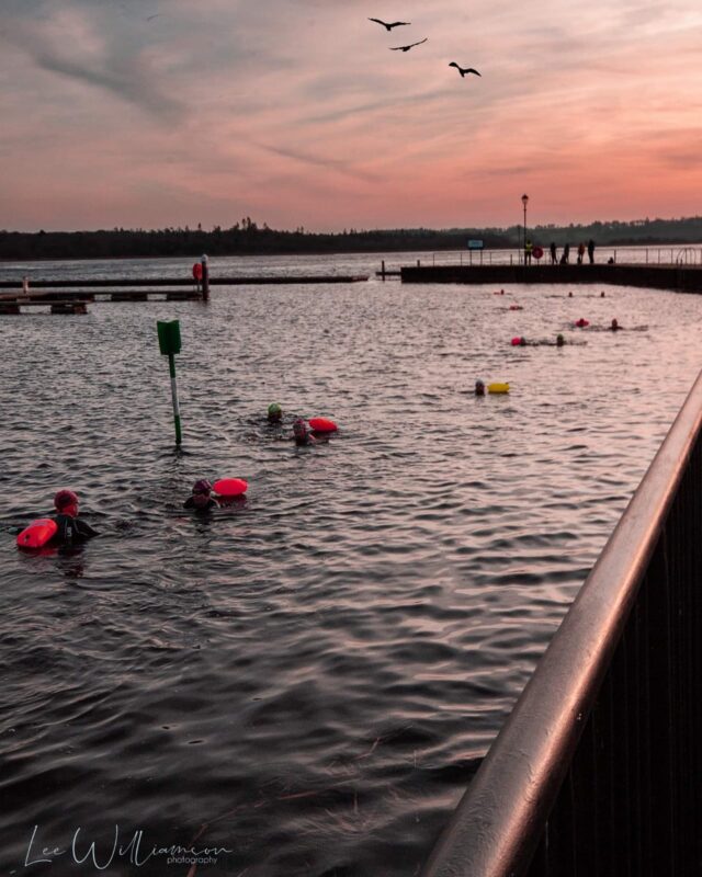
Lee Williamson for the additional photos.
Local Swimming Community
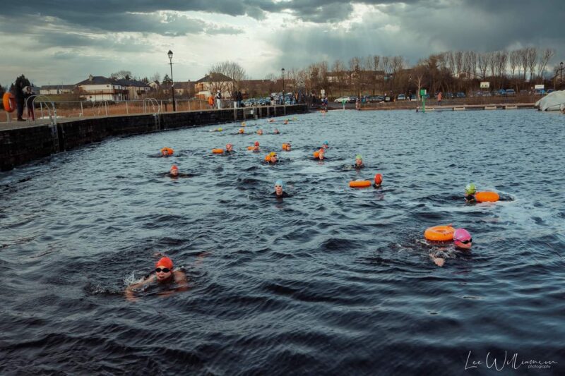
There is a thriving local open water swimming scene. There are groups swimming from Lanesboro twice a day from various different organisation. We coordinate using a whatsapp group.
New pontoon access to the water
Recently the Lanesboro tidy towns group installed a pontoon for access to the water on the lanesboro side.
Following this the tri club liaised with waterways Ireland to have an area removed from the navigational channel so that it would be free from boat traffic and safe for open water swimmers.
We also have three buoys in a triangle formation to indicate the safe swim course, this is typically around 450m per loop.
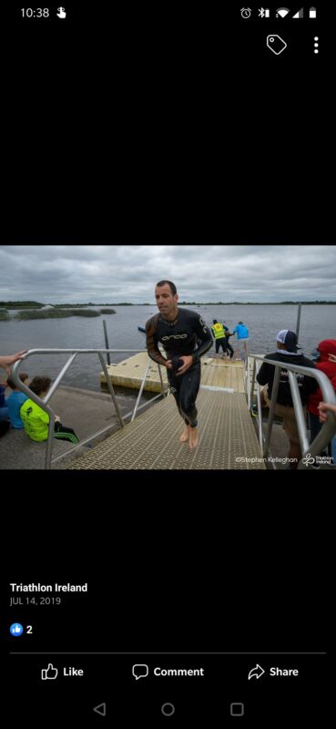
Two Provinces Triathlon
Lanesborough is also the location of the Two Provinces Triathlon which takes place in June of each year, the race is a key battleground for the country’s top triathletes as they compete in the Triathlon Ireland National Series.
Once you find Lilliput its well worth a visit. We looked in vain for a signpost when we came off the M6 and inevitably got lost. Eventually we got on the right road and found our way to Jonathan Swift Park.
This is a swimming area designated as such by Westmeath County Council , which is rare and nice to see. To the left of the boathouse there is a stony, beach like surface which leads you into shallow water. A better way to get in is down the steps to the right of the boathouse where it is sandy underfoot and also has a bit of depth. The water was nice and fresh and remained shallow as we swam out. It was nice to have the sand beneath our feet and this seems like a good place for kids to splash and play. However, lakes are potentially dangerous so watch out for submerged rocks. No jumping or diving
The park itself has plenty of space with a picnic table and a large sand pit right in front of the swimming area. Right beside the park is the Lilliput Adventure Centre which organises various adventure courses.
There is ample car parking and it is accessible.
Update April 2015: A 2014 report on bathing water quality conducted by the EPA found the water quality in Lough Ennel ‘poor’ .You might want to check out the current state of play with the County Council. View Larger Map
Directions:
From the M6 take exit 4 onto the N52 toward Mullingar. Watch out for a left turn onto the L122 signposted for Ballinagore. After that you will pick up the signposts for Jonathan Swift Park/Lilliput. There are a number of them so watch carefully and they will lead you to the lake.
Just what you need to cool down if you have been climbing nearby Croagh Patrick.
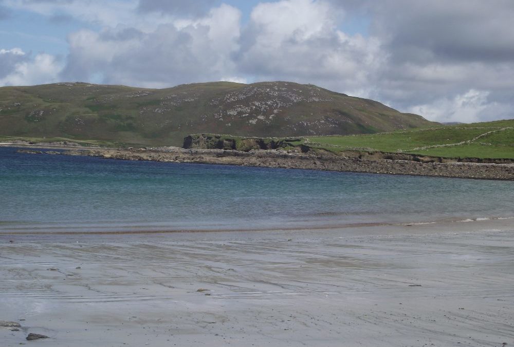
Bertra is a Blue Flag 2012 beach which we visited when it was wet and windy. Still, the water was good and the views across the bay to Achill island are impressive. The tide was in when we were there and the beach almost completely covered. The wade in was gradual but a bit stony underfoot.
We are sure it’s a completely different proposition when the sun is out, but even in the rain Bertra is a good swimming spot.
There is a decent sized car park, good toilets and a couple of picnic tables. There are both ramps and steps to access the beach so well done Mayo County Council. Lifeguards are on duty during the summer months.
Blue Flag beach
Directions:
From Westport take the R335 toward Louisburgh. After you pass Murrisk and the car park for Croagh Patrick you will soon come to a right turn signposted for Bertra.
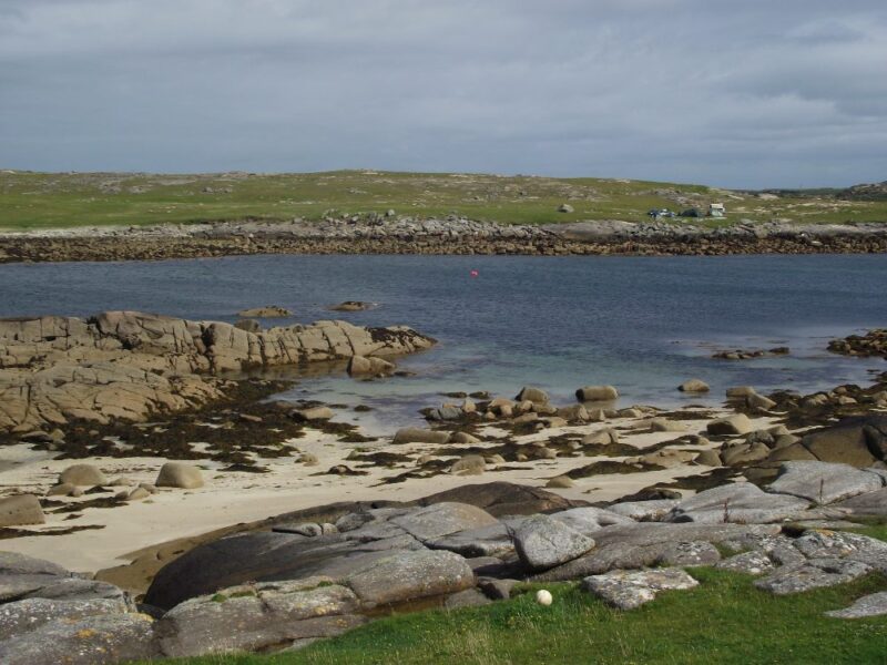
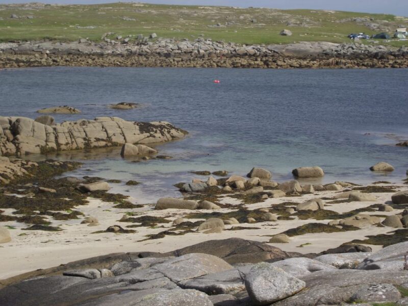
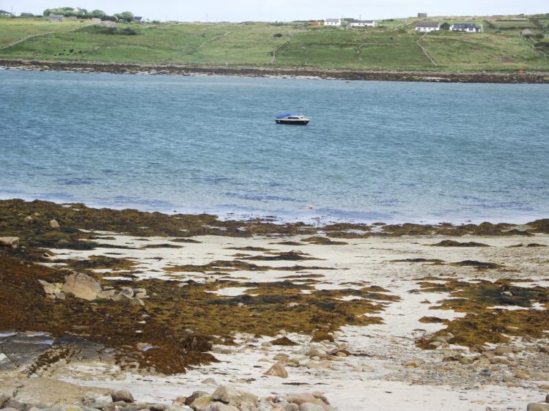
Omey is an unusual island in that it can be accessed at low tide by a sandy causeway. It’s only a kilometre from the mainland and is a good place to walk and swim.
We crossed at low tide and visited two beaches where, of course, the tide was out and they weren’t looking their best. So the trick with Omey is to stay long enough that you get a decent tide, but not so long that you get trapped.
We swam at the beach farthest away from Omey’s single road. It is sheltered in the bay and the water was calm and clear. At low tide there was a gradual wade in, an initial stony piece and then it was sandy underfoot.
To access the first beach just drive to the end of the single road and you will see the beach on your right. For the other one you can walk, drive or cycle across the grass, along the lake as far as you can go. You will probably have to climb a small hill and then you will see the beach below.
All in all Omey is different and worth the visit, both for the swimming and the experience. Just make sure you watch the tide or else bring a tent.
Directions:
From Clifden take the N59 toward Letterfrack/ Westport. About 4 kilometres beyond the town you will come to a left turn signposted for Claddaghduff and Omey. Keep on this road until you come to a kind of T junction. Go to the left and you will then see a left turn sigposted for Omey. You can park and walk across or if your car/ jeep is up to it you can drive across.
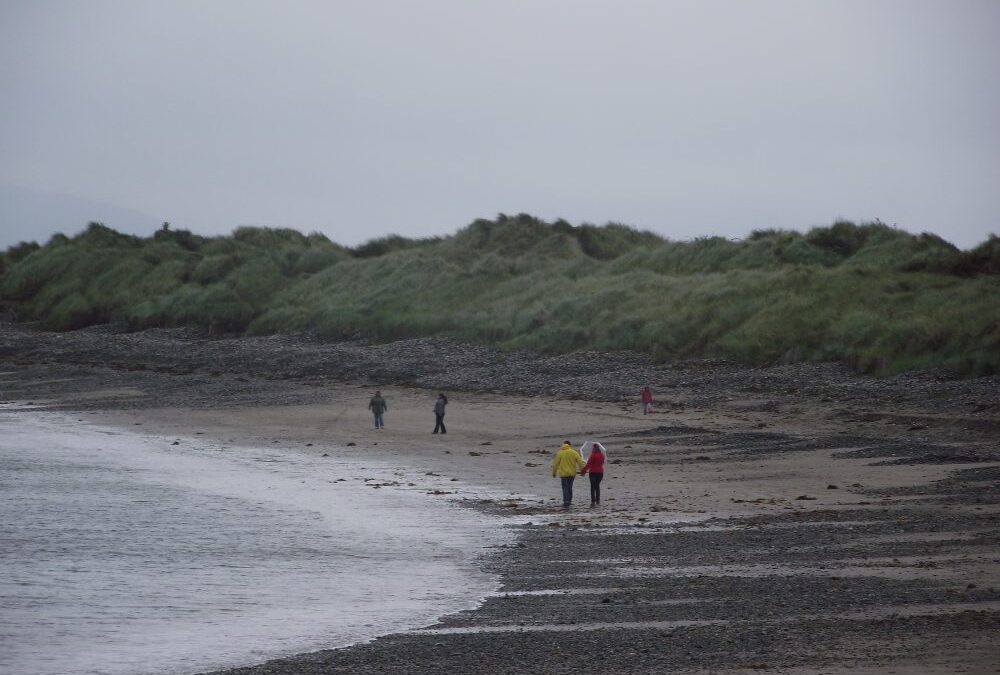
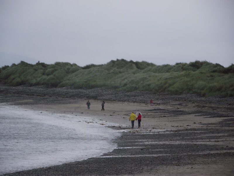
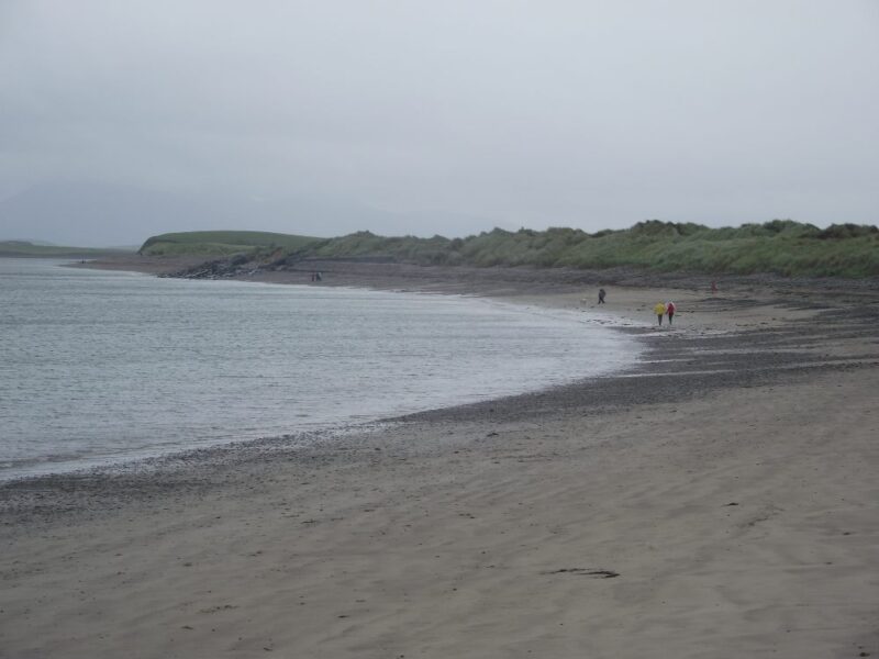
We aren’t sure of the name of this beach, but it’d definitely in Sellerna Bay just outside Cleggan.
Sellerna is an attractive beach with clear blue-green water. It’s a bit exposed with just a few rocks at one end for shelter. There is a gradual wade in and it’s nice and sandy underfoot, one of the few sandy beaches in this particular part of Connemara.
There is a small car park with space for about 10 cars. Access to the beach is over a short but stony path. It isn’t wheelchair accessible but if you had a tough jeep you could drive onto the sand.
Directions:
From Clifden take the R59 toward Westport. After about 5 kilometres take a left turn signposted for Cleggan. Drive straight through the village and after a kilometre you come to a small crossroads, where you turn right (there is a sign for the beach but it’s hidden by a B and B sign).